Mt Haast, Springs Junction
Medium-length hike, 10 minutes from Springs Junction & 30 from Reefton.

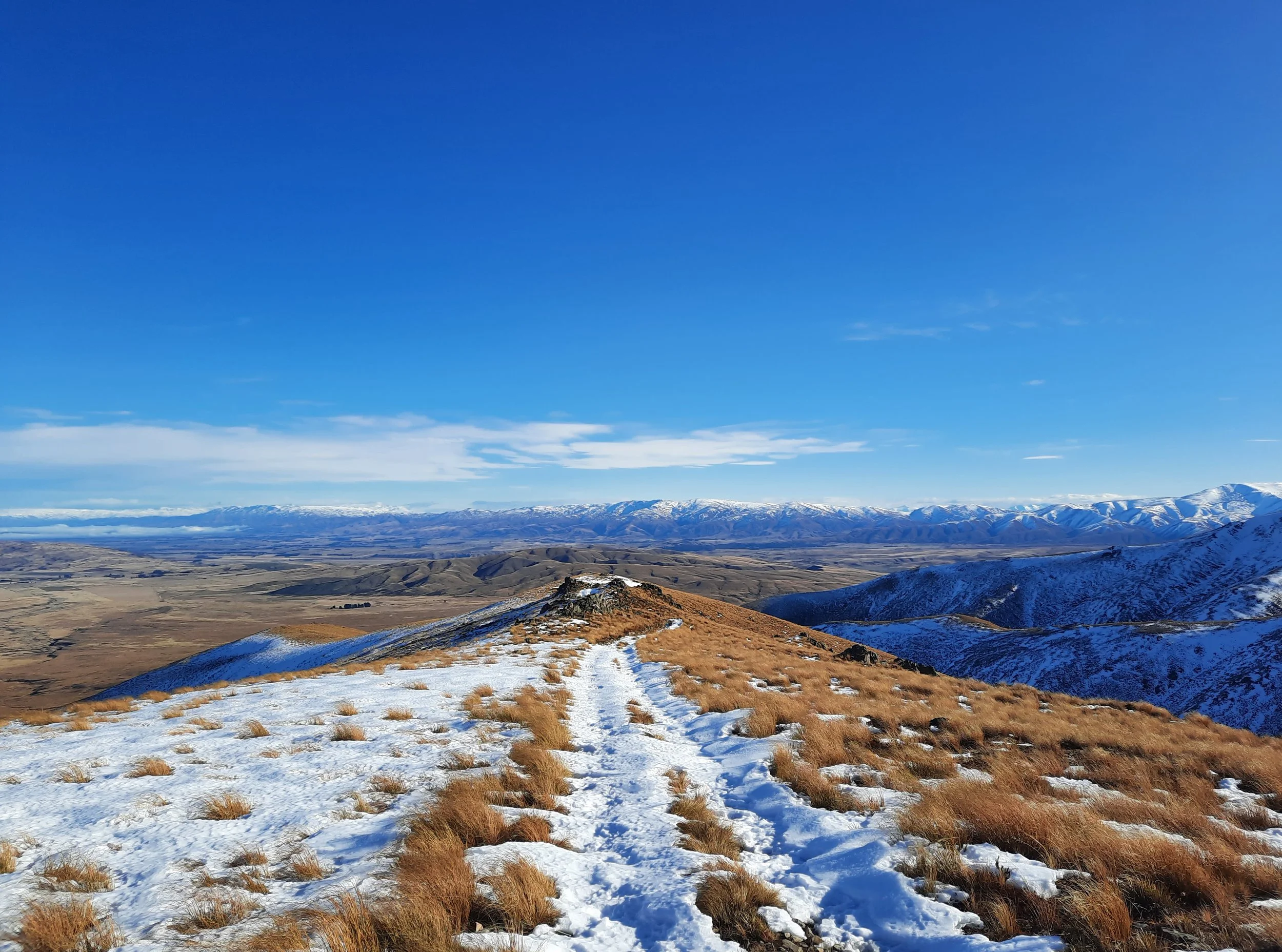
Lindis Peak, Tarras
Medium-length hike. 12 minutes from Tarras, 35 from Cromwell, 40 from Wānaka.

Ben Ōhau via Greta Track, Twizel
Medium-length hike, 30 minutes from Twizel.

Ben Nevis, Wakefield
Medium-length hike. 35 minutes from Wakefield, 45 from Nelson.

Mt Robertson, Spring Creek
Medium-length hike. 15 minutes from Spring Creek, 20 from Blenheim.

St Arnaud Range Track, Nelson Lakes
Medium-length hike, accessible on foot from St Arnaud. 70 minutes from Nelson.

Summit Walkway: Hilltop to Mt Sinclair, Banks Peninsula
Medium-length hike on a portion of the Summit Walkway. 25 minutes from Akaroa, 65 minutes from Christchurch.

Stony Bay Peak-Flag Peak Circuit, Banks Peninsula
Medium-length hike accessible on foot from Akaroa. 90 minutes from Christchurch.

Mt Oxford, Oxford
Medium-length hike 12 minutes from Oxford. 60 minutes from Christchurch

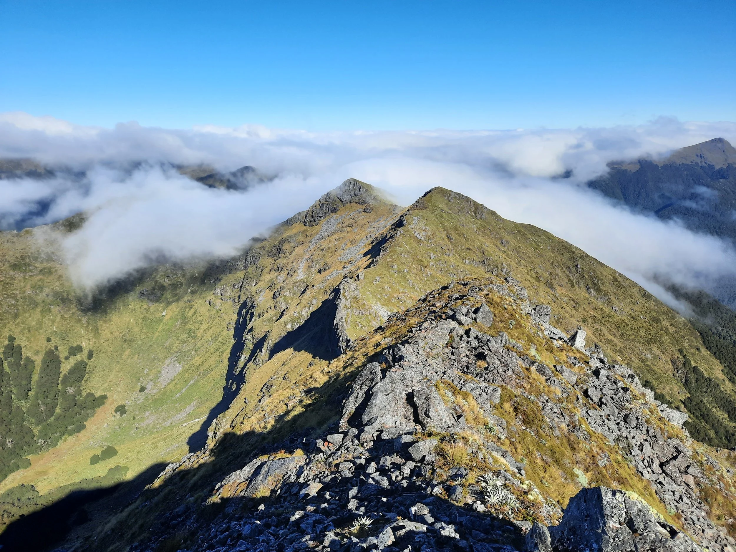
Near Point 1844, Mt Aicken, Arthur’s Pass
Medium-length hike - turned back due to weather. Accessible on foot, Arthur’s Pass.
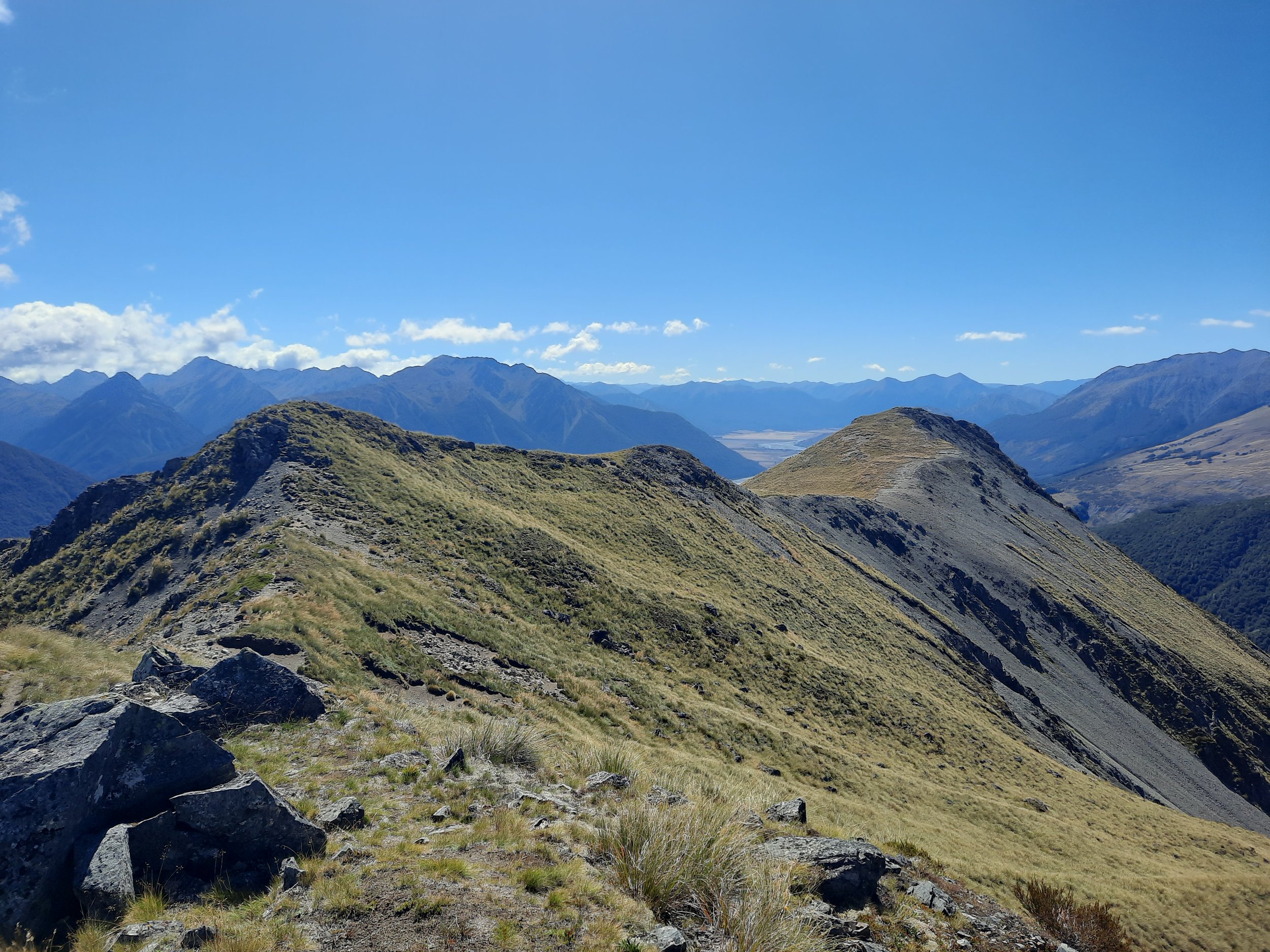
Bealey Spur to Point 1581, Arthur’s Pass
Medium-length hike 12 minutes from Arthur’s Pass.

Peak Hill, Lake Coleridge
Medium-length hike 15 minutes from Lake Coleridge village, 45 minutes from Methven.

Mt Barrosa, Mt Somers village
Medium-length hike 15 minutes from Mt Somers village. 35 minutes from Methven.

Mt Guy, Lake Clearwater
Medium-length circuit from Lake Clearwater holiday village. 30 minutes from Mt Somers village.
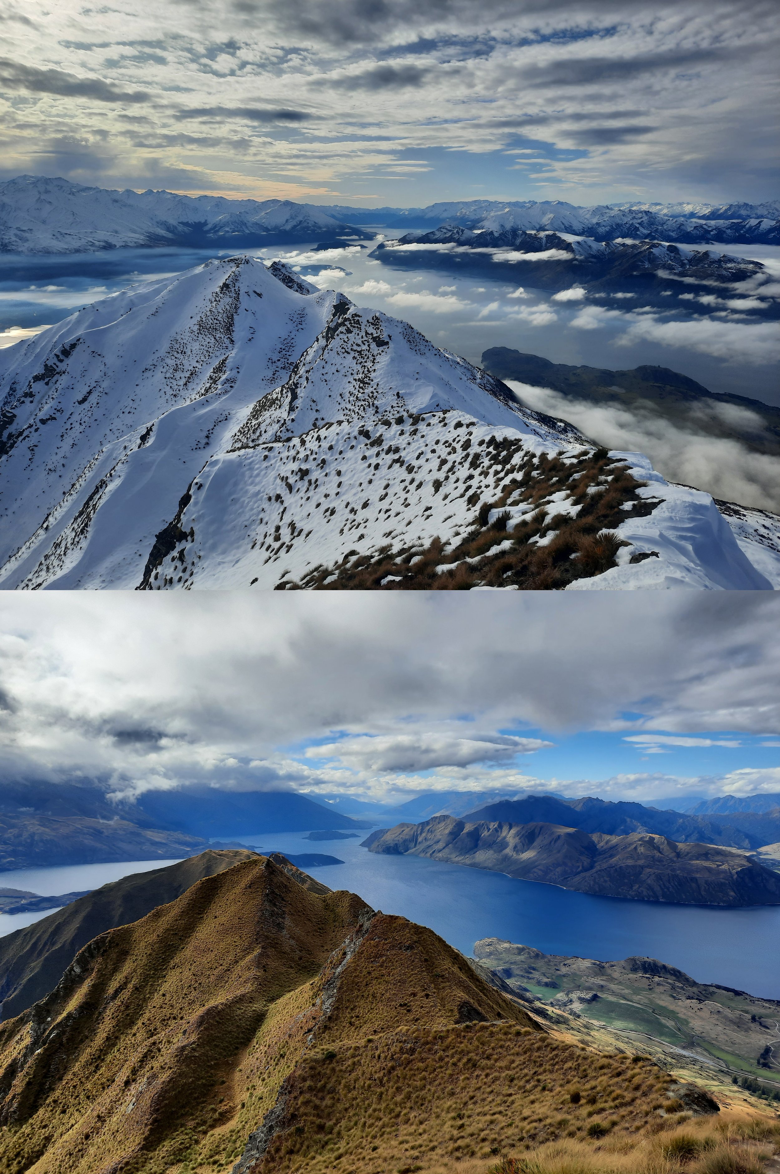
Roy’s Peak, Wānaka: Summer vs Winter
Hiking to Roy’s Peak without snow, and to the famous lookout point in snow. A long hike 10 minutes from Wānaka.

Brow Peak, Arrowtown
Medium-length hike, accessible on foot from Arrowtown.
Ben Lomond vs Bowen Peak, Queenstown
Queenstown’s famous peak vs slightly lower neighbor. Same access tracks. Medium-length hikes.
Point 1658, Hawkdun Range, St Bathans
Medium-length winter hike. 30 minutes from St Bathans, 1 hour from Alexandra.

Stonehurst Track, Middlemarch
Medium-length hike near Middlemarch. 1 hour from Dunedin.