If you follow a broken link, you are redirected to this page. You can also use SEARCH.
First are the posts about hikes in Aotearoa New Zealand, with the name of the nearest settlement (even if it’s far away) usually in the title. Next, other NZ pages (e.g. hiking without a car). Near the bottom, other countries.
Short hikes took me 0-4 hours, medium-length 4-7, long 7-10, and very long 10+. I’ve made a few category exceptions for anomalous times.
North Island hiking
Short hike 45 minutes southeast of downtown Auckland.
Short hike in Waitākere Ranges, 30 minutes west of downtown Auckland.
Very long hike, 20 minutes from Inglewood & 30 from New Plymouth. Autumn ice.
Long hike, 20 minutes from New Plymouth. Side-trip off Pouakai Circuit.
Short hike on Mt Taranaki, 30 minutes from Stratford & 60 from New Plymouth.
Long hike, 20 minutes from Whakapapa village & 25 from National Park township. Mt Doom in Lord of the Rings. Active volcano.
Short hike 40 minutes from downtown Auckland.
Short hike 20 minutes from Raglan, 50 minutes from Hamilton.
Short hike 12 minutes from Te Awamutu, 40 from Hamilton.
Long hike, 20 minutes from Whakapapa village & 25 from National Park township. Active volcano.
Long hike in Tongariro NP, 20 minutes from National Park township. Active volcano, sporadic lahars.
Short hike 60 minutes from Hastings, Hawke’s Bay.
Very long hike in Ruahine Range. Winter snow. 45 minutes from Waipukurau & Waipawa, Central Hawke’s Bay.
Short hike, accessible on foot or by train from central Wellington.
Short hike to the Pinnacles, 40 minutes from Martinborough. Elsewhere, seals & Cape Palliser lighthouse.
South Island hiking
For an introduction to South Island’s hiking regions, see Edward’s post at HikingScenery.com.
Nelson-Tasman and Marlborough (Te Tau Ihu and nearby)
Nelson Airport and Blenheim’s Marlborough Airport are the easiest starting points.
Long hike, 75 minutes from Tākaka.
Long hike, 85 minutes from Tākaka.
Short hike, 25 minutes from Pōhara & 30 from Tākaka. Done from Wainui, northern trailhead of Abel Tasman Coast Track.
Medium-length hike. 35 minutes from Wakefield, 45 from Nelson.
Medium-length hike. 15 minutes from Spring Creek, 20 from Blenheim.
Short hike, 30 minutes from Nelson. The north end of Cable Bay Walkway.
Long hike, 45 minutes from Motueka.
Short hike, accessible on foot from Blenheim. 5 minutes by car from Blenheim Central.
Long hike, entirely 4WD track. 25 minutes from Seddon, 40 from Blenheim.
Short hike, accessible on foot from Tapawera. 45 minutes from Nelson, Motueka.
Short hike, 5 minutes from Havelock.
Short hike, accessible on foot from Havelock, Marlborough Sounds.
Medium-length hike, accessible on foot from St Arnaud. 70 minutes from Nelson.
Very long hike 15 minutes from St Arnaud. Usually not a day-hike.
West Coast (Buller District) and North Canterbury (Hurunui and Kaikōura Districts)
Hanmer Springs (Hurunui) is most easily accessed from Christchurch, while both Christchurch and Blenheim/Picton make sense for visiting Kaikōura. Nelson makes the most sense for Reefton and Springs Junction (Buller District).
Long hike, 20 minutes from Springs Junction & 60 from Hanmer Springs.
Long hike near Lewis Pass. 30 minutes from Springs Junction, 45 from Hanmer Springs.
Medium-length hike, 10 minutes from Springs Junction & 30 from Reefton.
Very long hike 20 minutes from Kaikōura. Summer snow.
Short hike from Jacks Pass, 13 minutes from Hanmer Springs. Alternative: accessible on foot from town.
Long hike from Jacks Pass, 13 minutes from Hanmer Springs.
Christchurch’s Port Hills & the Banks Peninsula, Central Canterbury
Short hike, accessible on foot from Lyttelton, Christchurch.
Medium-length hike on a portion of the Summit Walkway. 25 minutes from Akaroa, 65 minutes from Christchurch.
Long hike accessible on foot from Diamond Harbour. 45 minutes from Christchurch.
Medium-length hike accessible on foot from Akaroa. 90 minutes from Christchurch.
Central Canterbury
Hikes from the Waimakariri River area in the northeast to the Rangitata River area in the southwest. I started and finished almost every trip in Christchurch.
Medium-length hike, 15 minutes from Methven.
Ryton Track (Mt Ida), Lake Hill (Lake Heron), Mt Sunday. All 60-70 minutes’ drive from Methven.
Medium-length hike 15 minutes from Mt Somers village.
Short hike from Awa Awa Rata Reserve, 15 minutes from Methven.
Medium-length hike 12 minutes from Oxford. 60 minutes from Christchurch
Medium-length hike - turned back due to weather. Accessible on foot, Arthur’s Pass.
Very long loop hike accessible on foot from Arthur’s Pass.
Very long loop hike accessible on foot from Arthur’s Pass.
Medium-length hike 12 minutes from Arthur’s Pass.
Short hike 10 minutes from Castle Hill village. 35 minutes from both Arthur’s Pass & Springfield.
Very long hike near Porters Pass. 10 minutes from Castle Hill village; 20 minutes from Springfield.
Very long hike, accessible on foot from Castle Hill. 30 minutes from Springfield, 40 from Arthur’s Pass.
Short hike at Porters Pass. 12 minutes from Castle Hill and 20 minutes from Springfield.
Medium-length hike 15 minutes from Lake Coleridge village, 45 minutes from Methven.
Long hike 12 minutes from Mt Somers village. 25 minutes from Methven.
Medium-length hike 15 minutes from Mt Somers village. 35 minutes from Methven.
Medium-length circuit from Lake Clearwater holiday village. 30 minutes from Mt Somers village.
Mackenzie Basin and Waitaki Valley, Canterbury
The Mackenzie Basin can be toured as part of a long drive from either Christchurch or Queenstown. Timaru Airport (flights from Wellington) is a more obscure option, but it saves time.
For the Waitaki Valley, Dunedin is also a reasonable starting point. The Waitaki Valley hikes were formerly in North Otago, but this area has been reassigned to South Canterbury.
The Mackenzie Basin is known for hiking, but the Waitaki Valley is not. However, the valley is less likely to have snow, and parts of it appear to be shielded from the prevailing northwesterly winds.
Very long hike, 30 minutes from Twizel.
Short hike accessible on foot in Kurow, Waitaki Valley.
Medium-length hike, 30 minutes from Twizel.
Short hike from Lake Tekapo village up Mt John, and back to the village along Lake Tekapo.
Short hike on Mt Ollivier, not as far as Mueller Hut. Walking distance from Mt Cook village.
Short hike in Waitaki Valley. 5 minutes from Otematata, 25 from Ōmarama.
Short hike (partial) through Mackenzie Basin hill pasture. 20 minutes from Ōmarama.
Short hike at the boundary of Otago and the Mackenzie Basin (Canterbury). 25 minutes from Ōmarama.
Lake Wānaka - Lake Hāwea area, Queenstown Lakes region, Otago
Arriving at Queenstown airport is the easiest way to get here.
Very long hike in Makarora, 55 minutes from Wānaka.
Short hike 70 minutes from Wānaka.
Medium-length hike in the Pisa Range, 45 minutes from Wānaka. Access code required.
Very long circuit from Nook Rd, 8 minutes from Hāwea township. (Or from Breast Hill trailhead.)
Very long hike from Treble Cone ski field. 40 minutes from Wānaka. Access code required.
Long hike on the east shore of Lake Hāwea. 10 minutes from Hāwea township.
Very long hike on the east shore of Lake Hāwea. 20 minutes from Hāwea township.
Very long hike on the north shore of Lake Hāwea. 30 minutes from Hāwea township.
Hiking to Roy’s Peak without snow, and to the famous lookout point in snow. A long hike 10 minutes from Wānaka.
Long hike on isthmus between Lakes Wānaka & Hāwea. 20 minutes from Hāwea township.
Short hike 20 minutes from Wānaka. Passes by Diamond Lake.
Lake Wakatipu and Arrowtown area, Queenstown Lakes region, Otago
Arriving at Queenstown airport is the easiest way to get here.
Short hike in Pisa Conservation Area, 20 minutes from Arrowtown.
Long hike from Arthur’s Point to Ben Lomond Saddle, via less-used route. 10 minutes from Queenstown.
Long hike, accessible on foot from Arrowtown.
Medium-length hike, accessible on foot from Arrowtown.
Comparing short hikes/walks at either end of the longer Jack’s Point Track. Near Queenstown.
Short hikes 20 minutes from both Queenstown and Arrowtown.
Queenstown’s famous peak vs slightly lower neighbor. Same access tracks. Medium-length hikes.
Short circuit around a lake. 20 minutes from Queenstown.
Short loop 15 minutes from Queenstown.
Very long hike 15 minutes from Queenstown. Reached Point 1723 via southern route.
Very long hike 5 minutes from Glenorchy. Includes the shorter Heather Jock Loop.
Very long hike 5 minutes from Glenorchy, 50 minutes from Queenstown. Shorter version: Mt McIntosh.
Long hike near the famous Routeburn Track. 30 minutes from Glenorchy.
Long hike 45 minutes from Queenstown.
Short hikes 40 minutes from Queenstown. Autumn snow.
Long hike from Gibbston to the Remarkables. 20 minutes from Arrowtown, 30 minutes from Queenstown.
Central Otago
The arid regions around Lake Dunstan, the Manuherikia River, and the Maniototo Plain. Note that some publications treat the Queenstown Lakes region (above) as part of Central Otago.
Queenstown, Invercargill, and Dunedin airports are all reasonable choices for getting here.
Long hike, 15 minutes from Naseby & 20 from Ranfurly.
Medium-length hike. 12 minutes from Tarras, 35 from Cromwell, 40 from Wānaka.
Short hike, 7 minutes from Cromwell.
Short hike, 15 minutes from Tarras and Cromwell.
Short hike in the Bendigo area. 25 minutes from Cromwell.
Short hike (partial) in the Bendigo area. 10 minutes from Cromwell.
Medium-length winter hike. 30 minutes from St Bathans, 1 hour from Alexandra.
Southeastern Otago
Dunedin is the best starting place; Invercargill is the other option. I haven’t done a post on The Catlins, but you can see some of its coastline in South Island: Scenery.
Medium-length hike near Middlemarch. 1 hour from Dunedin.
Short hike. 30 minutes from Dunedin. Caution: sea lions.
Short hike in Blue Mountains, near Tapanui. 40 minutes from Gore.
Southland, including Fiordland
Invercargill is the best starting place; Queenstown is the other option.
Short hike from The Divide, detouring off Routeburn Track. 70 minutes from Te Anau.
Medium-length hike. 40 minutes from Borland Lodge, 80 from Tuatepere.
Short hike beside town of Bluff. 30 minutes from Invercargill.
Long hike, 30 minutes from Milford Sound & 90 from Te Anau.
Other New Zealand posts
Hills, lakes, rivers, bays, and coastal cliffs.
Arthur’s Pass is best for fit & experienced hikers; Queenstown for everyone else.
Including a few distinctively Māori examples.
Native species.
Posts from outside of New Zealand
Marion’s Lookout near Cradle Mountain, Minnow River Lookout on Mt Roland, and Legges Tor in Ben Lomond NP.
Walks and hikes on Mt Wellington, in Mt Field NP, in Hartz Mountains NP, and on the Tasman Peninsula
Cats, dogs, birds, and more.
Shikoku: Yashima
Kyūshū: Mt. Unzen, Mt. Kaimon, Mt. Tsurumi
Mt. Nantai, Mt. Tsukuba, Mt. Takao, Arashi-yama (Kyōtō), Tsuwano Castle, Mt. Shizuki
Medium-length hike, 15 minutes from Aso City.
Long hike beside the Yamanami Highway, Kokonoe.
Native mammals & birds. Also some non-natives.
Short hike (Wangara Lookout) & long one (St Mary Peak). Wilpena Pound, Ikara-Flinders NP.
The Dutchman’s Stern, near Quorn. Morialta Third Falls, Adelaide Hills. Hallett Cove & the Sugarloaf, Adelaide coast.
HK Island, HK New Territories, Macao peninsula
Seoul, Sobaek-san, Hahoe village, Gyeongju, Busan, Jeju Island
Taipei, Yangmingshan, Taroko Gorge, Xiao Liuqiu, Tainan
Isle of May, East Neuk, St Andrews, Arbroath
Ben Vrackie, Cairn Gorm, Craigellachie, Ben More-Stob Binnein
Italy, Spain, France, Netherlands, Germany, England, Ireland, Iceland
KwaZulu-Natal, Cape Town, and a safari in Kruger National Park
These are the hikes which you can find on my whole-country blog posts:
South Korea, north to south
Dobong-san, near Seoul
Namhan-sanseong, near Seoul
Birobong, Sobaek-san Park, near Danyang
Halla-san, central Jeju Island
Seong-san Ilchulbong, east Jeju Island
Scottish Highlands, north to south
Craigellachie, near Aviemore
Meall a' Bhuachaille, near Glenmore
Cairn Gorm, near Glenmore
Ben Vrackie, near Pitlochry
Ben More & Stob Binnein, near Crianlarich
Japan, northeast to southwest
Honshū
Nantai-san, near Nikkō, Tochigi Pref.
Tsukuba-san, near Tsukuba, Ibaraki Pref.
Takao-san, Hachiōji, western Tōkyō
Arashi-yama Monkey Park (Iwata-yama), Kyōto
Kyūshū
Unzen-dake, near Unzen, Shimabara Peninsula, Nagasaki Pref.
Kaimon-dake, Ibusuki, Satsuma Peninsula, Kagoshima Pref.
Taiwan, north to south
Qixing-shan, Yangmingshan Park, near Taipei
Xiang-shan, Taipei
Lushui to Wenshan, Taroko Gorge, near Hualien


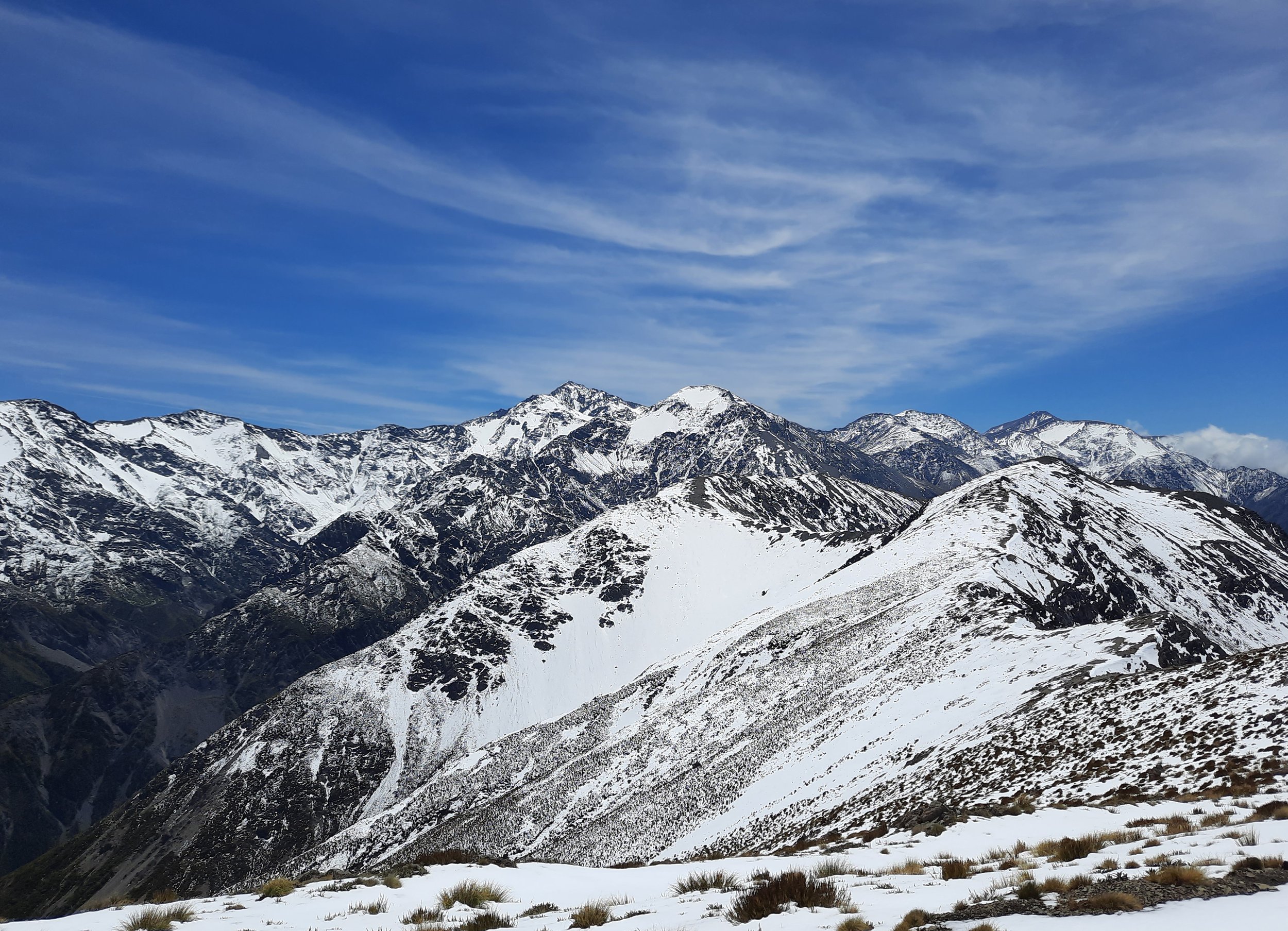


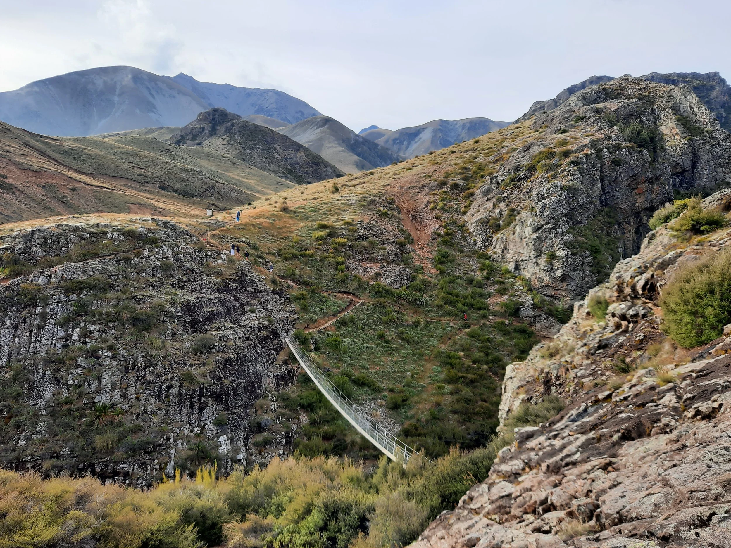


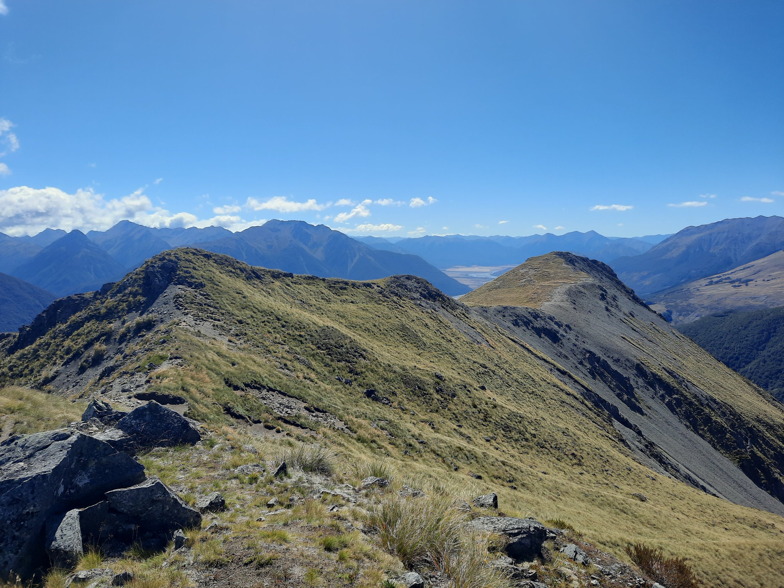


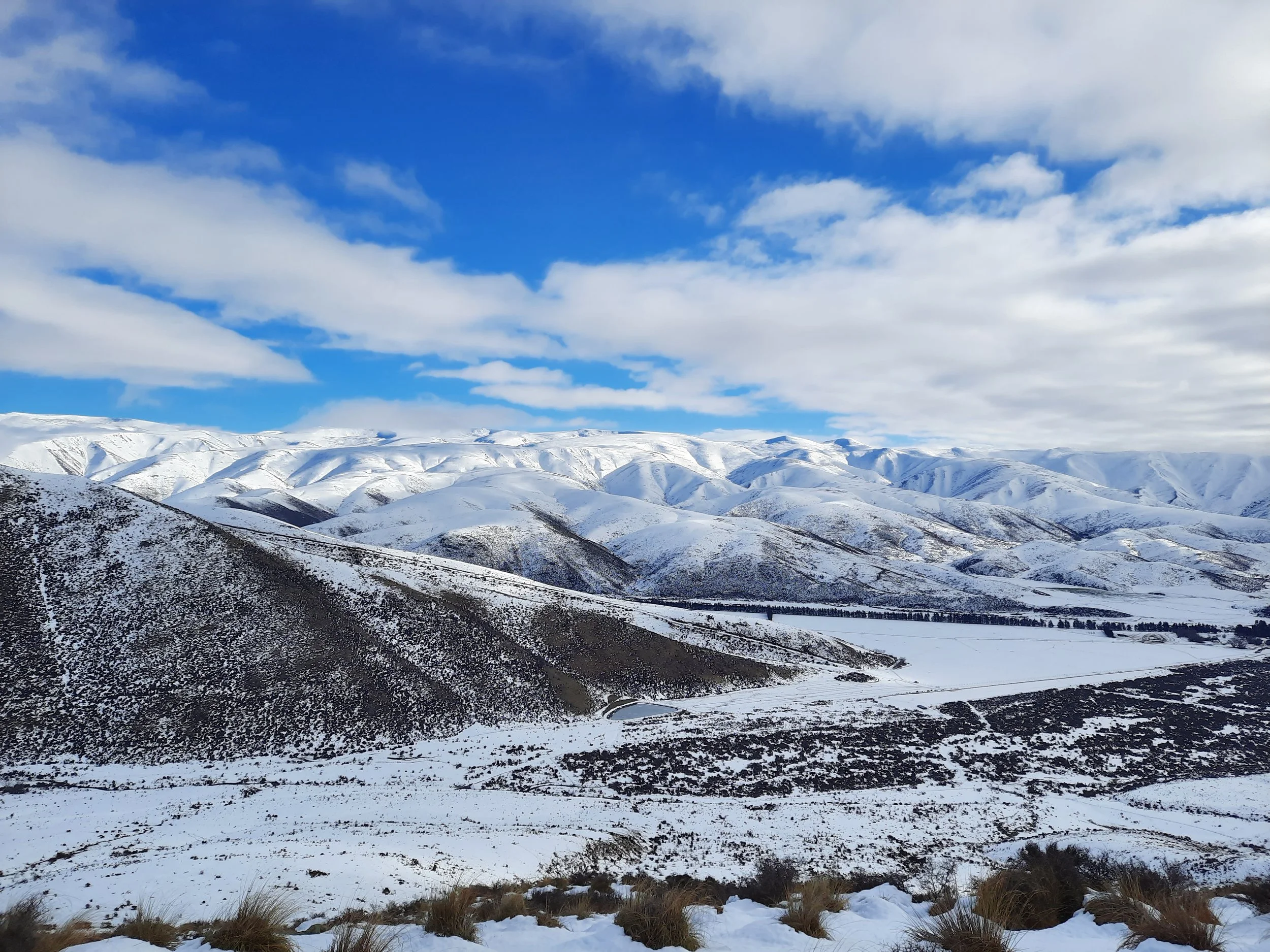
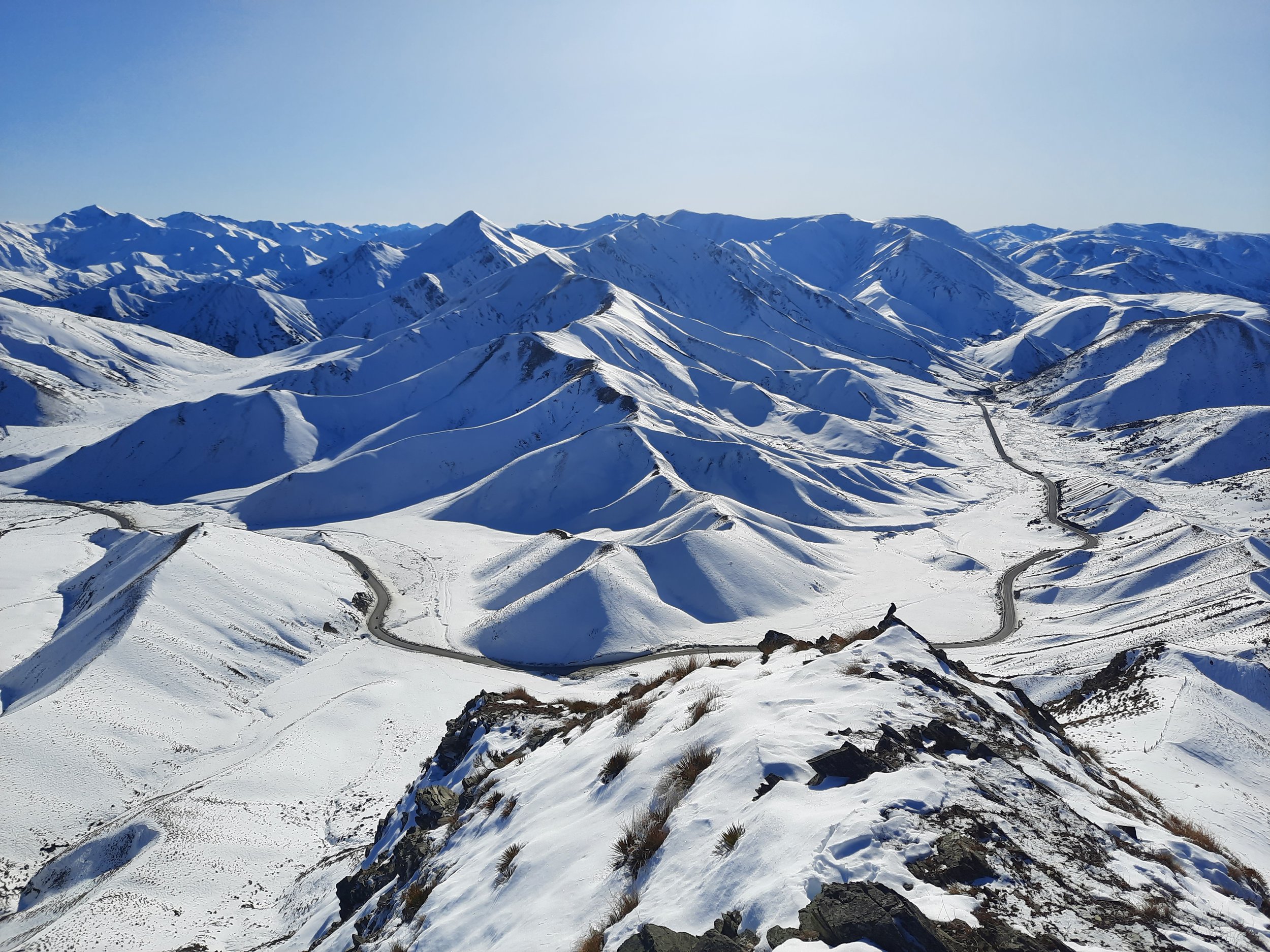
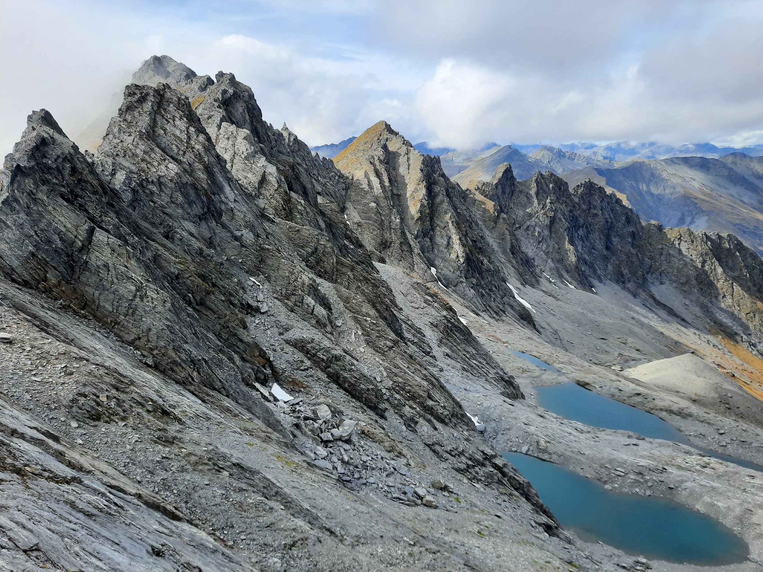


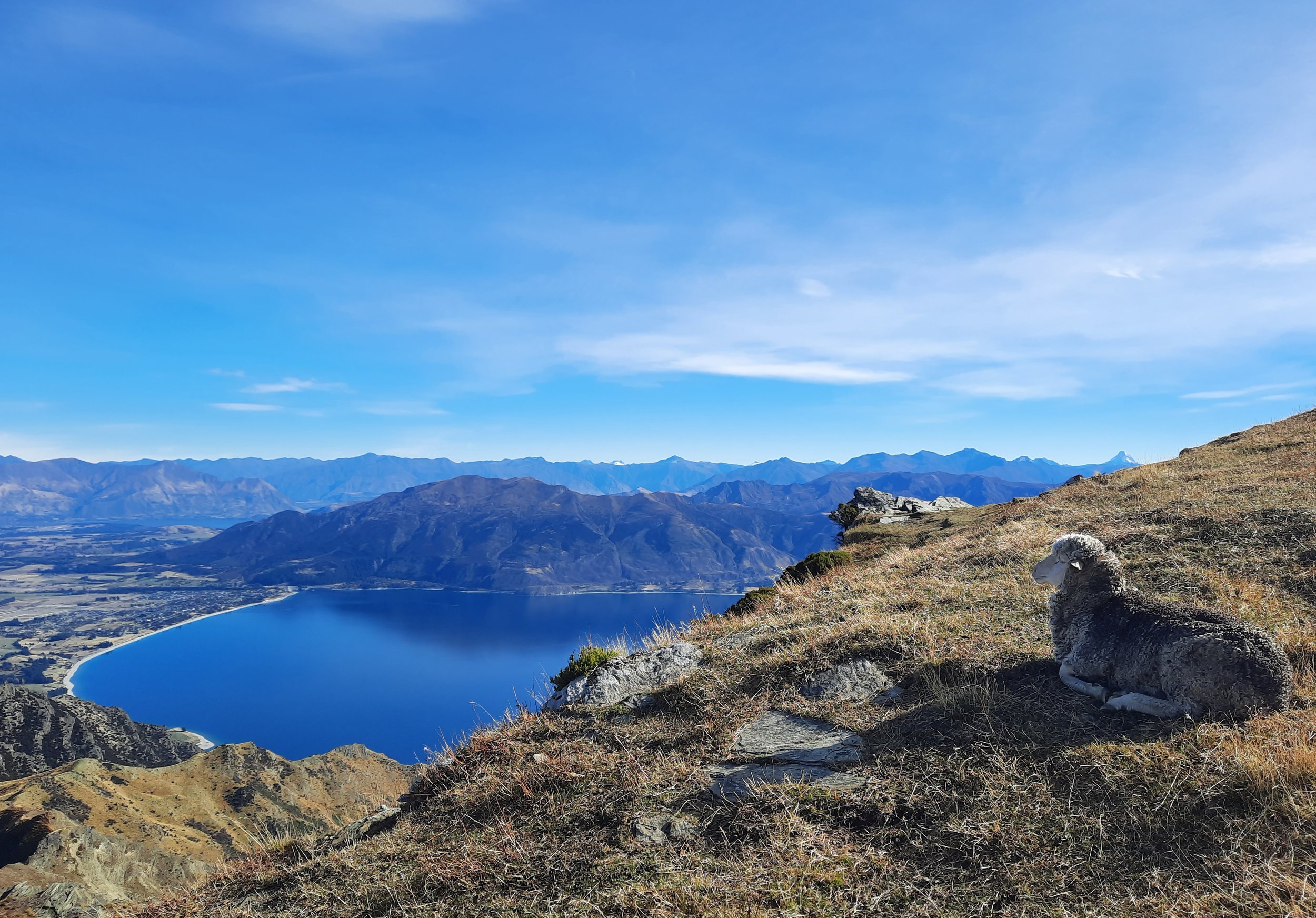


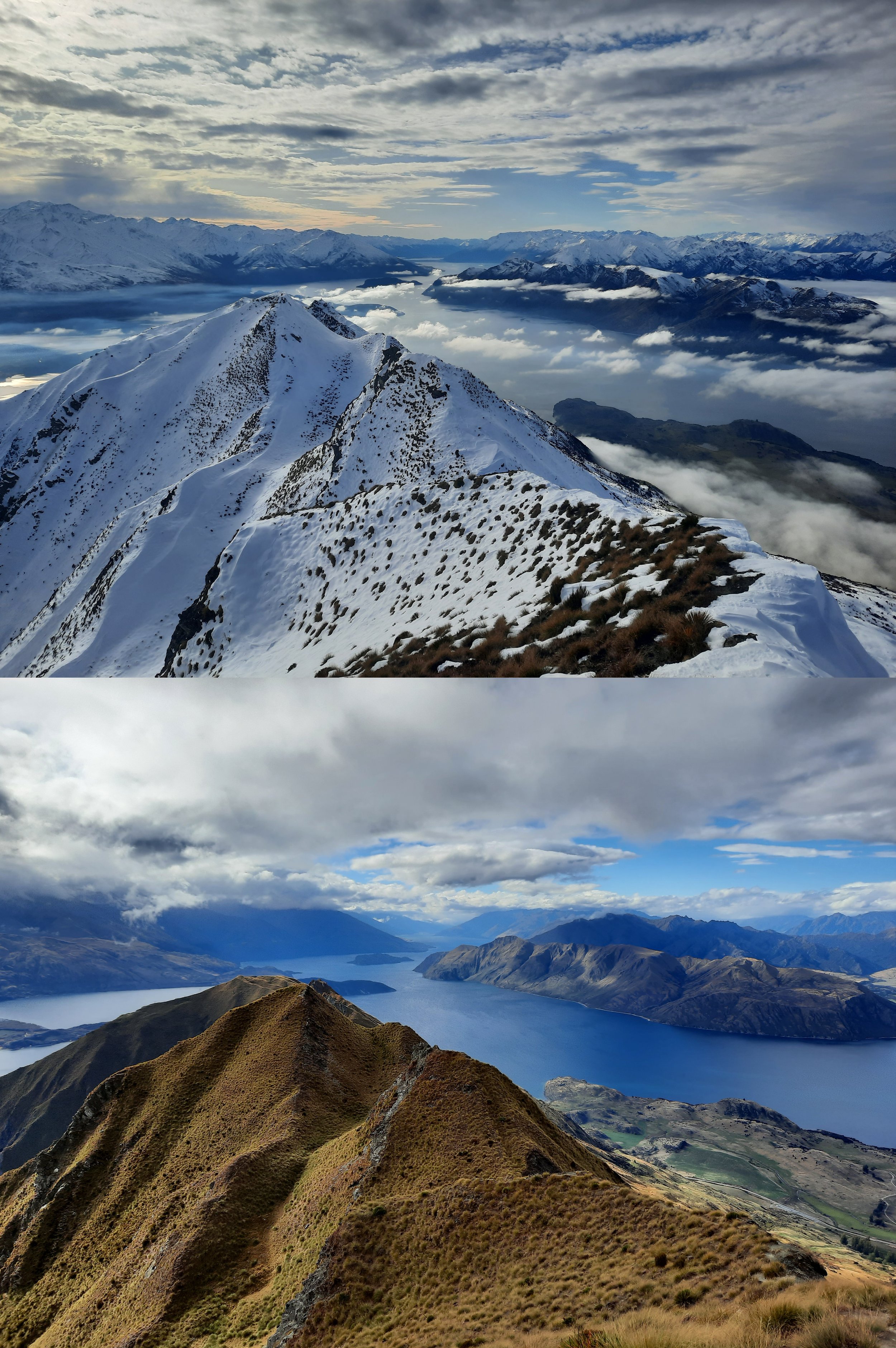








Short hike on a volcanic island, 25 minutes by ferry from Auckland.