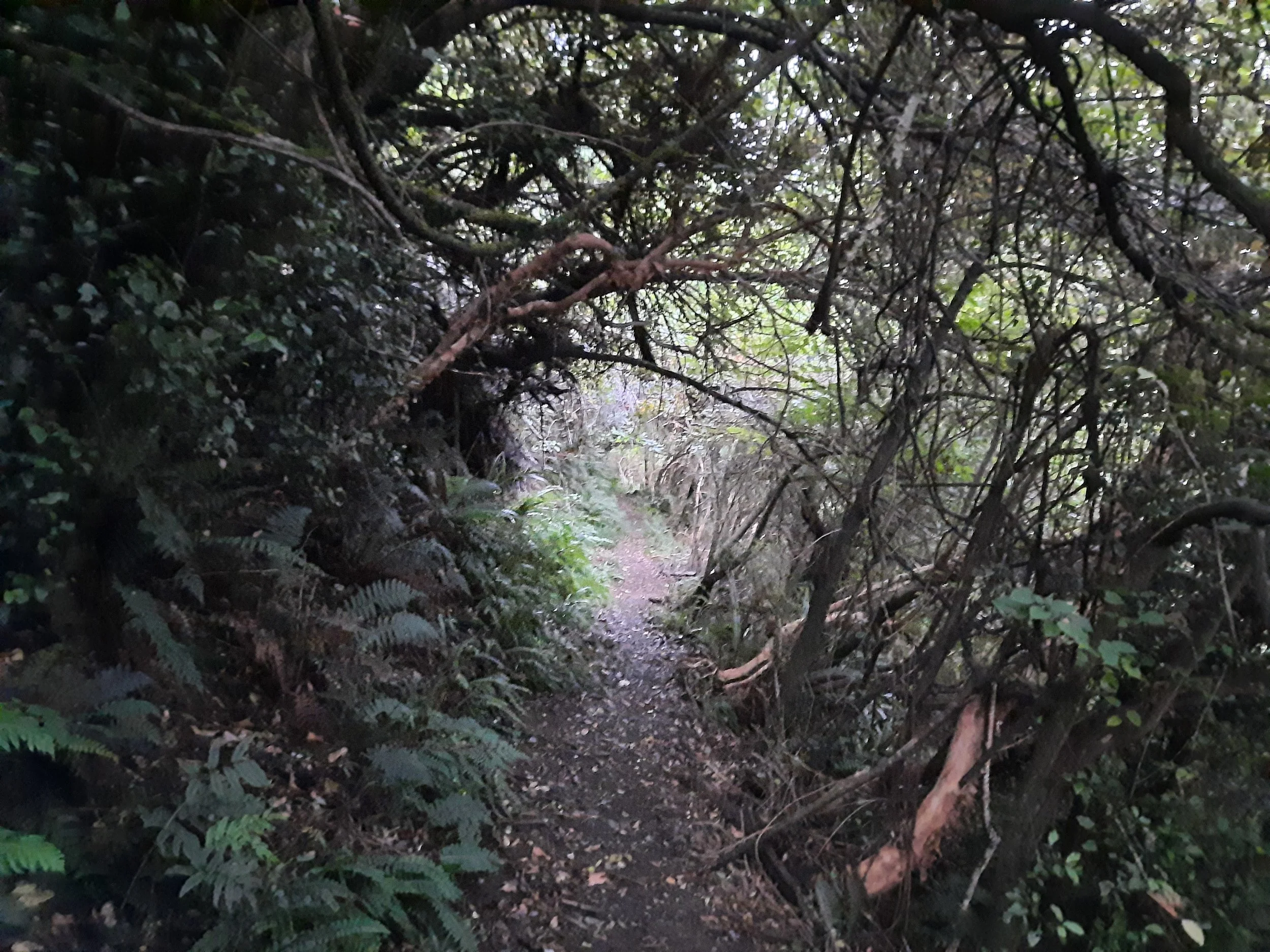
Upper Ōpuke circuit, Mt Hutt forest, Methven, NZ
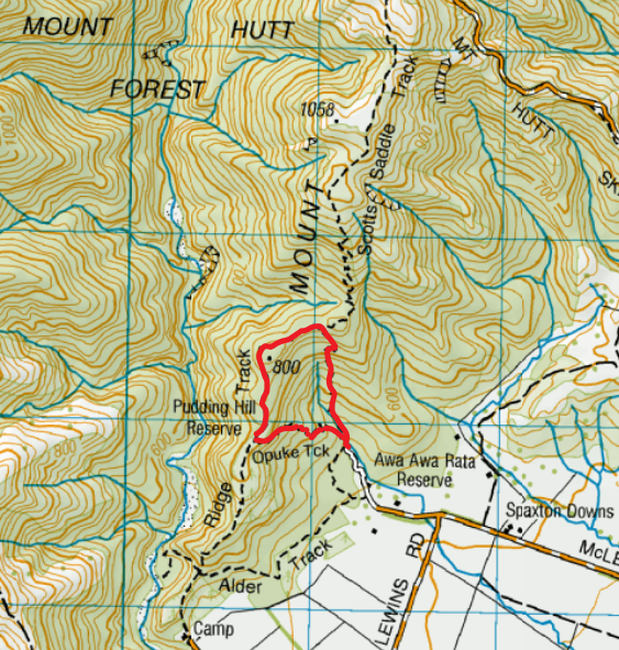
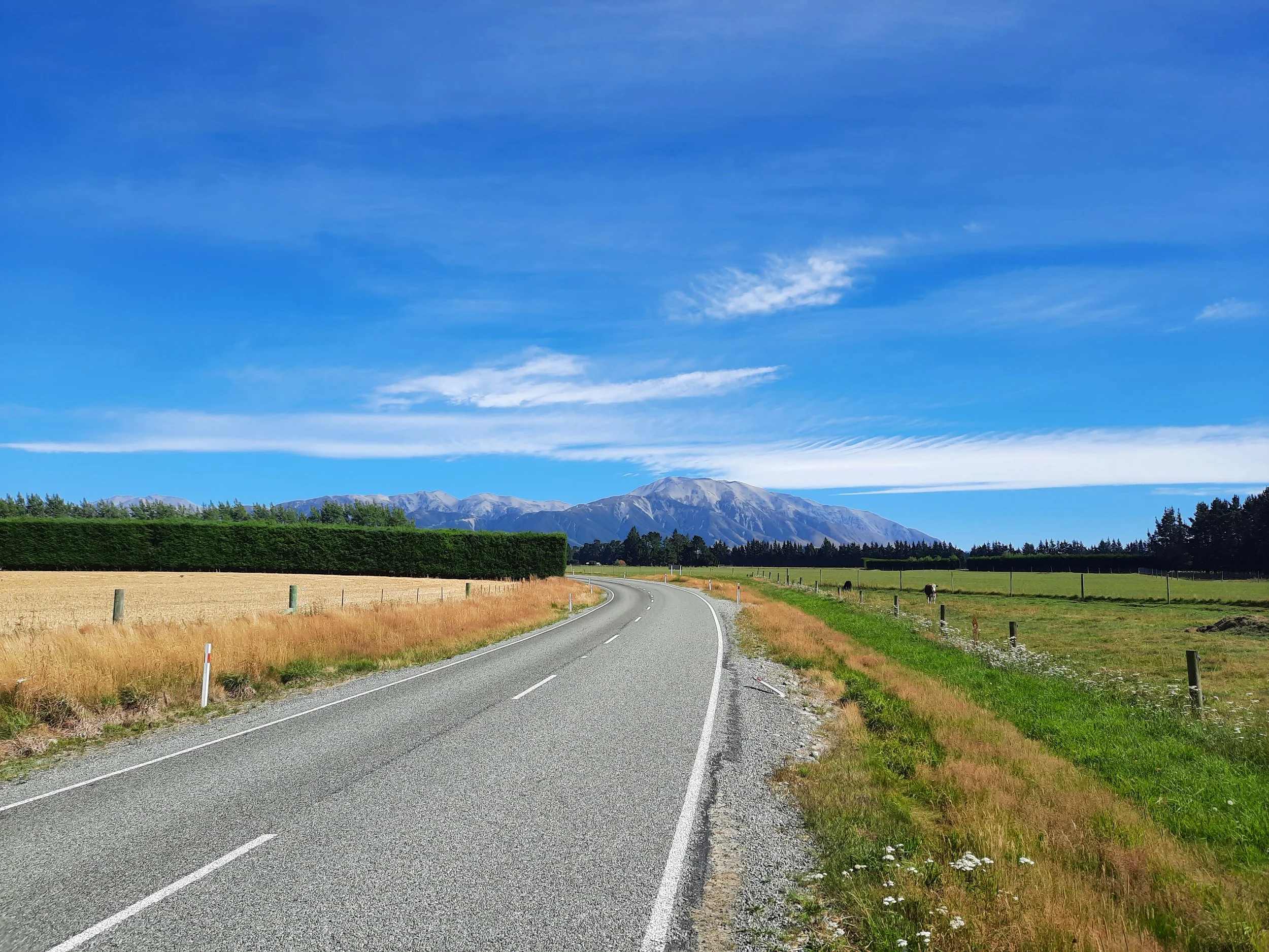
Mt Hutt (Ōpuke) is a prominent mountain at the edge of South Island’s Canterbury Plain. Its southern face is heavily forested. There is a medium-length hike on one of its southern spurs called Scott’s Saddle Track. One evening, without much light left, I did a short circuit which ascended Scott’s Saddle Track part-way, then descended on Ridge Track and Ōpuke Track. The high point was around 780m. The trailhead is in Awa Awa Rata Reserve, about 15 minutes from Methven and 80 minutes from central Christchurch.
Screenshots of the NZ topographic map are licensed as CC BY 4.0 by Toitū Te Whenua Land Information New Zealand (LINZ).
I name this the Upper Ōpuke circuit because Ōpuke Track could also be part of a different, lower-elevation circuit with lower Ridge Track and Alder Track. So, I would call that Lower Ōpuke circuit.
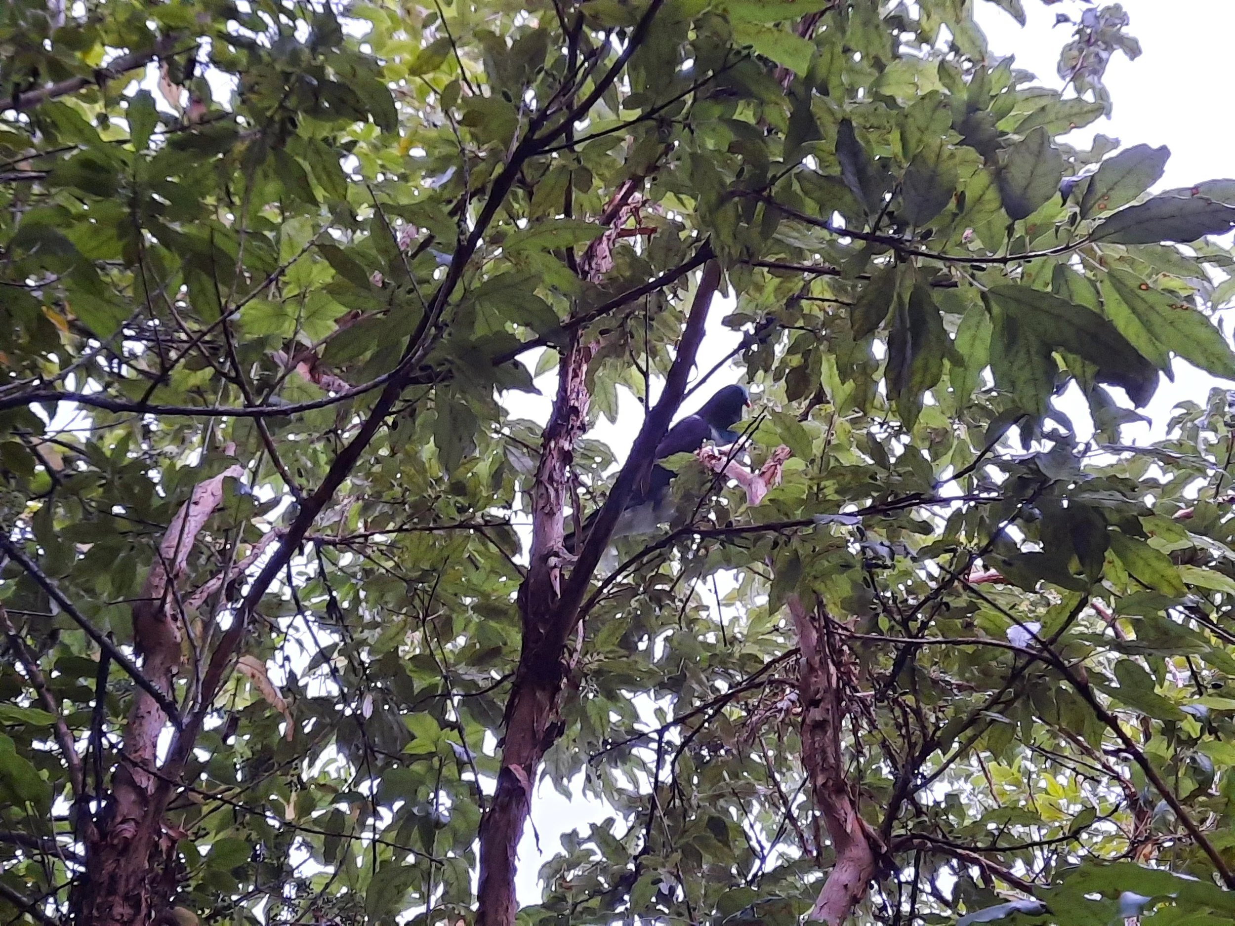
This was one of the least scenic hikes I’ve done in NZ, partly because of the heavy forest and partly because it was an overcast evening. However, I was happy to see a kererū pigeon munching among the foliage.
Time
DOC estimates that the circuit takes 90 minutes.
Including breaks but excluding my false start on the wrong track (not visible on map - described below), it took me around 70 minutes.
Route
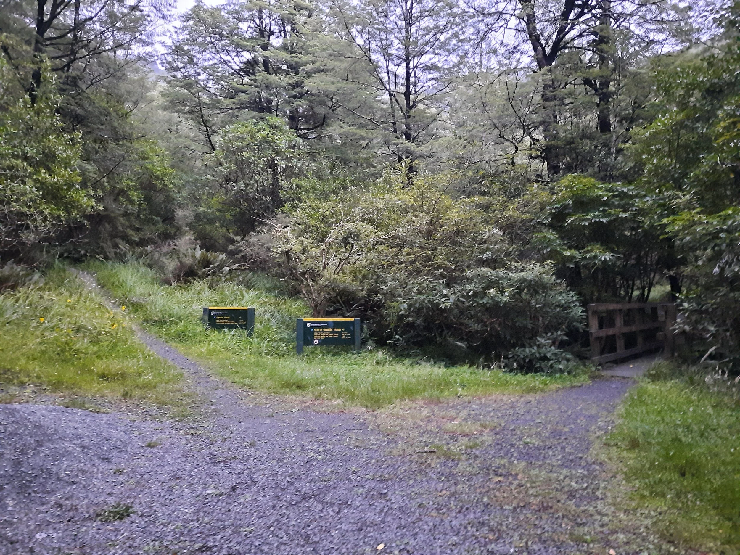
There is plenty of space to park at Awa Awa Rata Reserve. Here is the trailhead, less than a minute from the parking area.
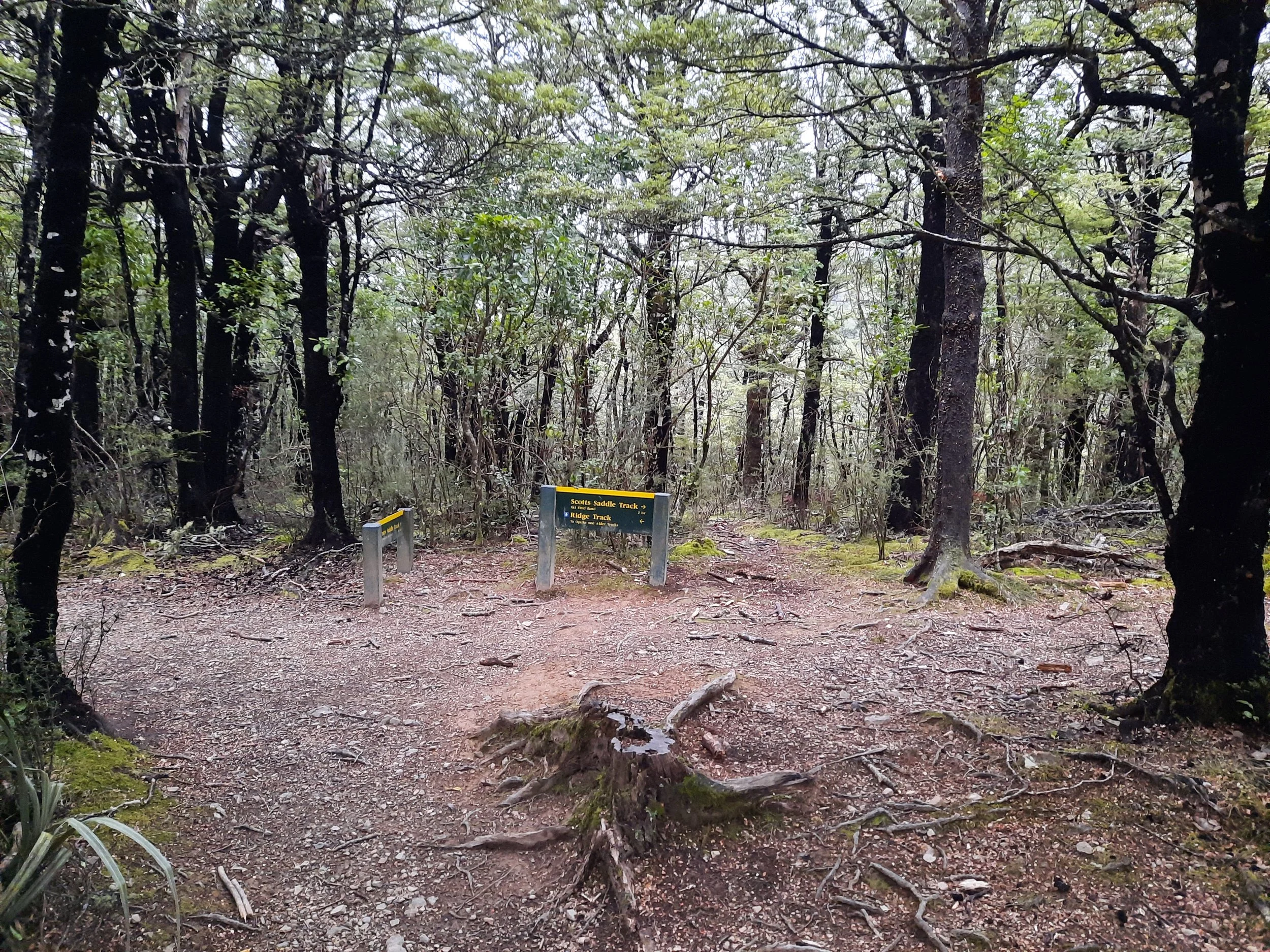
Getting started was confusing. I followed a green DOC sign across a bridge, toward Scott’s Saddle Track, where I found a fork. The track on the right side of the fork seemed to have an orange marker, and the rightmost track on the topomap is Scott’s Saddle Track, so I trusted that this was Scott’s Saddle Track and that the left track was just a shortcut to Ōpuke Track. However, it turned out that turning right brought me to a boardwalk, going downhill. It isn’t on the topomap, and I don’t know where it goes.
I returned to the fork and went up the real Scott’s Saddle Track - left, from the perspective of someone arriving.
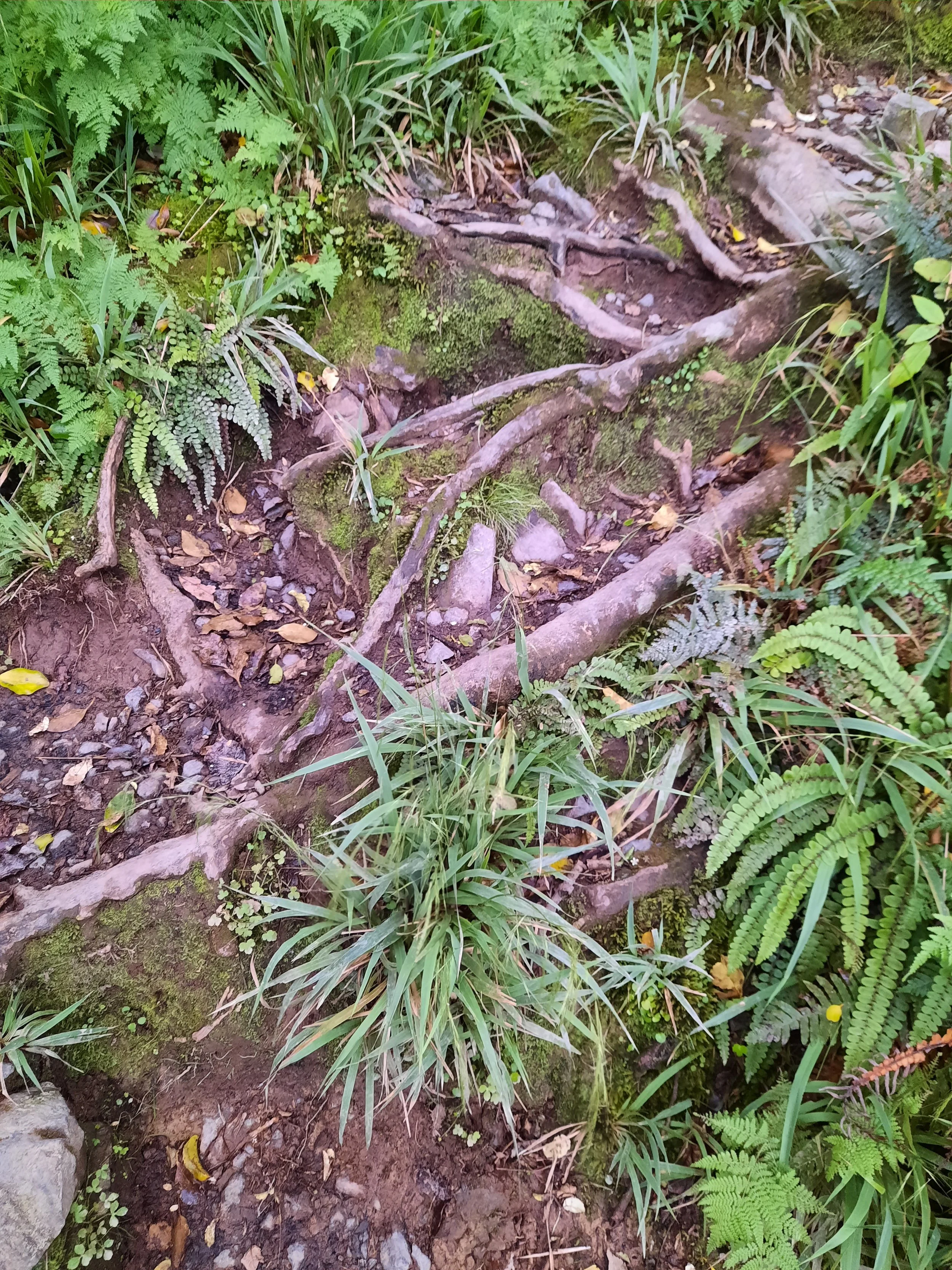
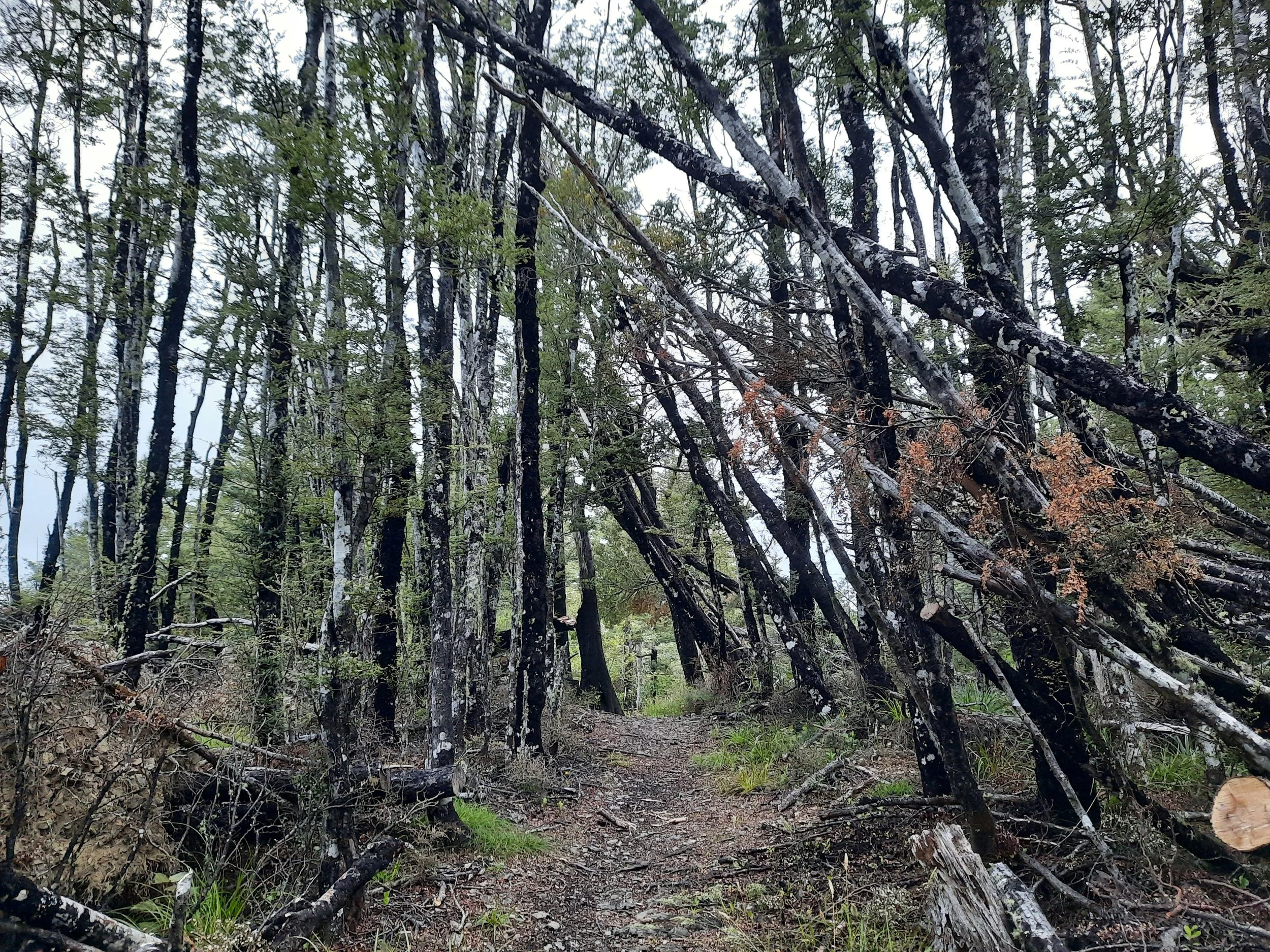
The track was steep and narrow in some places. More importantly, it was muddy. I recommend wearing boots and gaiters.
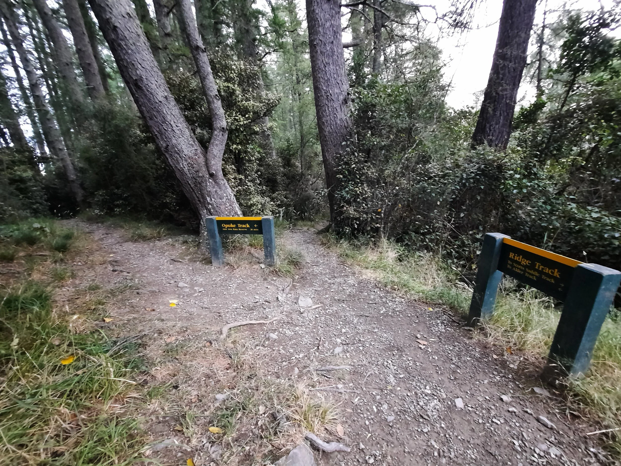
At the T-intersection with Ridge Track, I turned left, following a green DOC signboard. The track was wider and higher-quality along the ridge, with a lot less mud. Following Ridge Track involved a few more minutes of gentle ascent, to a high point around 780m, before descending to a T-intersection with Ōpuke Track, where I turned left again. Along here I encountered a kererū having its dinner.
Ōpuke Track was in better condition than Scott’s Saddle Track, so it was good that I put the difficult part first by ascending Scott’s Saddle Track. At the foot of Ōpuke Track, I emerged just a few meters away from where I began Scott’s Saddle Track.
If 1 is an easy track, and 4 is using hands and feet on exposed rocks, I give this track a 3 at worst when it’s muddy. I think it would be a 2 at worst in dry conditions, because it’s easier to maneuver along a narrow path with solid footing.
Kererū eating.
Hunting
Hunting is forbidden in Awa Awa Rata Reserve. The boundary between forbidden and permitted seems to run along the edge of the Scott’s Saddle Track and Ridge Track, so only the Ōpuke Track is surrounded by no-hunting zone on both sides. This might be the boundary between Awa Awa Rata Reserve and Pudding Hill Reserve, not that it matters much.
Hunters are forbidden to “discharge firearms near tracks, huts, campsites, road-ends or any other public place.” I have hiked in more than 30 hunting areas, and only passed hunters twice - this wasn’t one of those hikes.
Here is the DOC topomap with all hunting areas visible.
Other pages about this hike
Pages about overlapping hikes
https://hikingscenery.com/scotts-saddle-track-mount-hutt-range-canterbury-nz/
https://www.alltrails.com/trail/new-zealand/canterbury/opuke-track


