Putangirua Pinnacles & Cape Palliser, Wairarapa
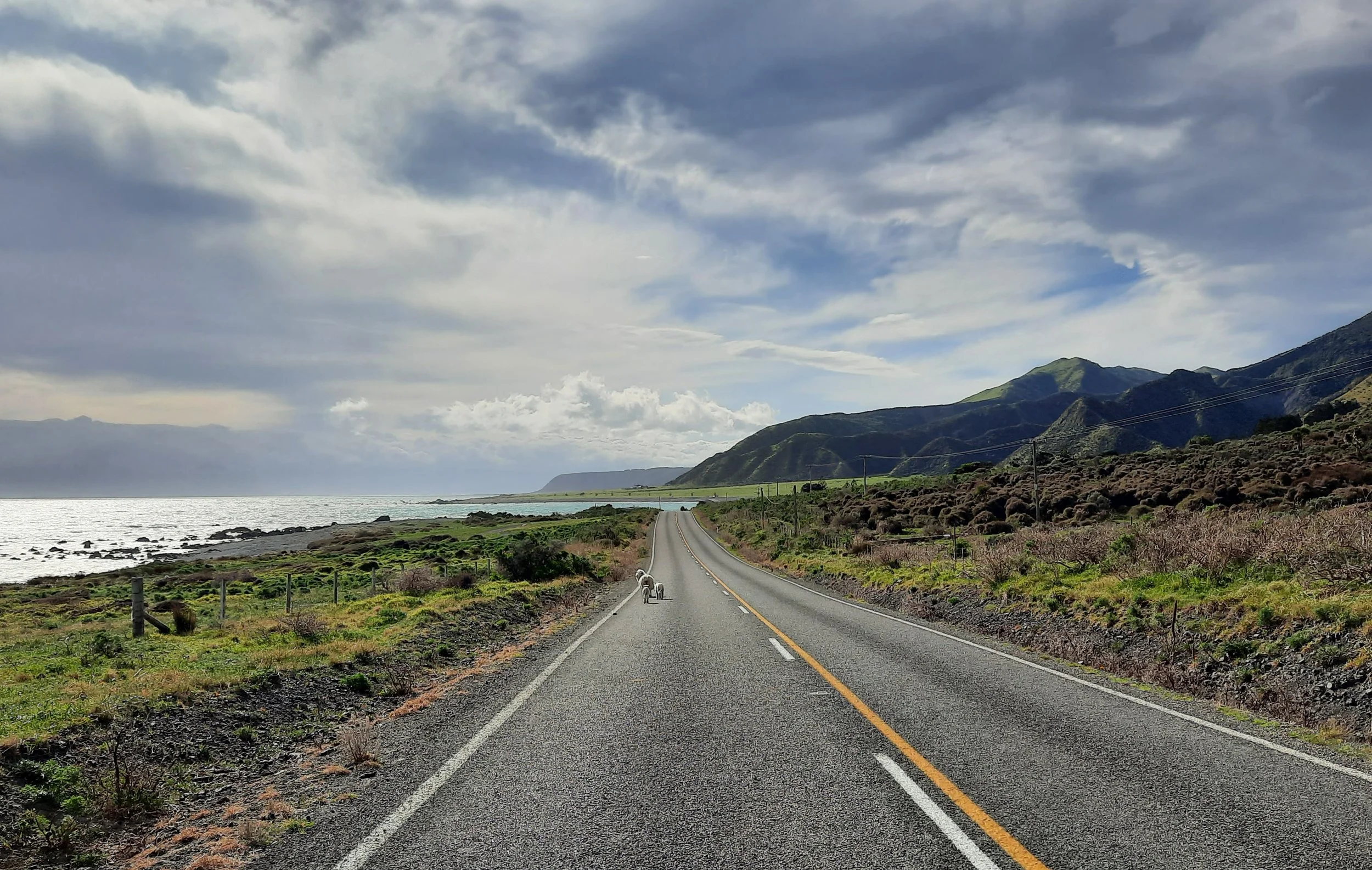
On North Island, the southwestern part of the Wairarapa region ends at Palliser Bay. I explored the southern part of this coast, from the Putangirua Pinnacles in the north, through the village of Ngāwī, to Cape Palliser (the Mātakitaki-a-Kupe headland) and its lighthouse in the south. Aorangi Forest Park lies inland (east) of the entire narrow coastal strip.
The Pinnacles (Dimholt Road in a Lord of the Rings film) were previously reached by a short hike. However, as of September 2023, DOC has closed all tracks to the Pinnacles.
The Pinnacles parking lot is about a 40-minute drive from Martinborough (Wharekaka). The lighthouse is about 25 minutes further south. Erosion had reduced the coastal road from two lanes to one lane in one or two places.
There seems to be accommodation in Ngāwī, between the Pinnacles and the lighthouse. But when I parked in the village during my day-trip one winter, I couldn’t find any shop, cafe, or food truck to sell me food. Due to this and the fragile road, the area seems like one of the least convenient parts of NZ in which to experience an earthquake. (In 1855, the Wairarapa experienced NZ’s most powerful recorded earthquake.)
The Putangirua Pinnacles should not be confused with the various other Pinnacles of New Zealand.
Time to the Pinnacles
Screenshots of the NZ topographic map are licensed as CC BY 4.0 by Toitū Te Whenua Land Information New Zealand (LINZ).
DOC estimates that the Pinnacles Track takes 45 minutes one-way. Their webpage also describes the two options involving the bed of Putangirua stream.
Including breaks, Pinnacles Track took me around 2 hours round-trip.
The Pinnacles route
From the parking lot, I first walked along the streambed, then diverged left on the easy dirt track, which took me up a wooded hillside to a good viewpoint overlooking the Pinnacles.
The forest track was muddy in several places. I was glad I was wearing my boots, not my hiking shoes. There were a few low tree branches.
If 1 is an easy track, and 4 is using hands and feet on exposed rocks, I give this track a 2 along the rocky streambed and a 1 (apart from mud) once I was on the dirt track through the forest.
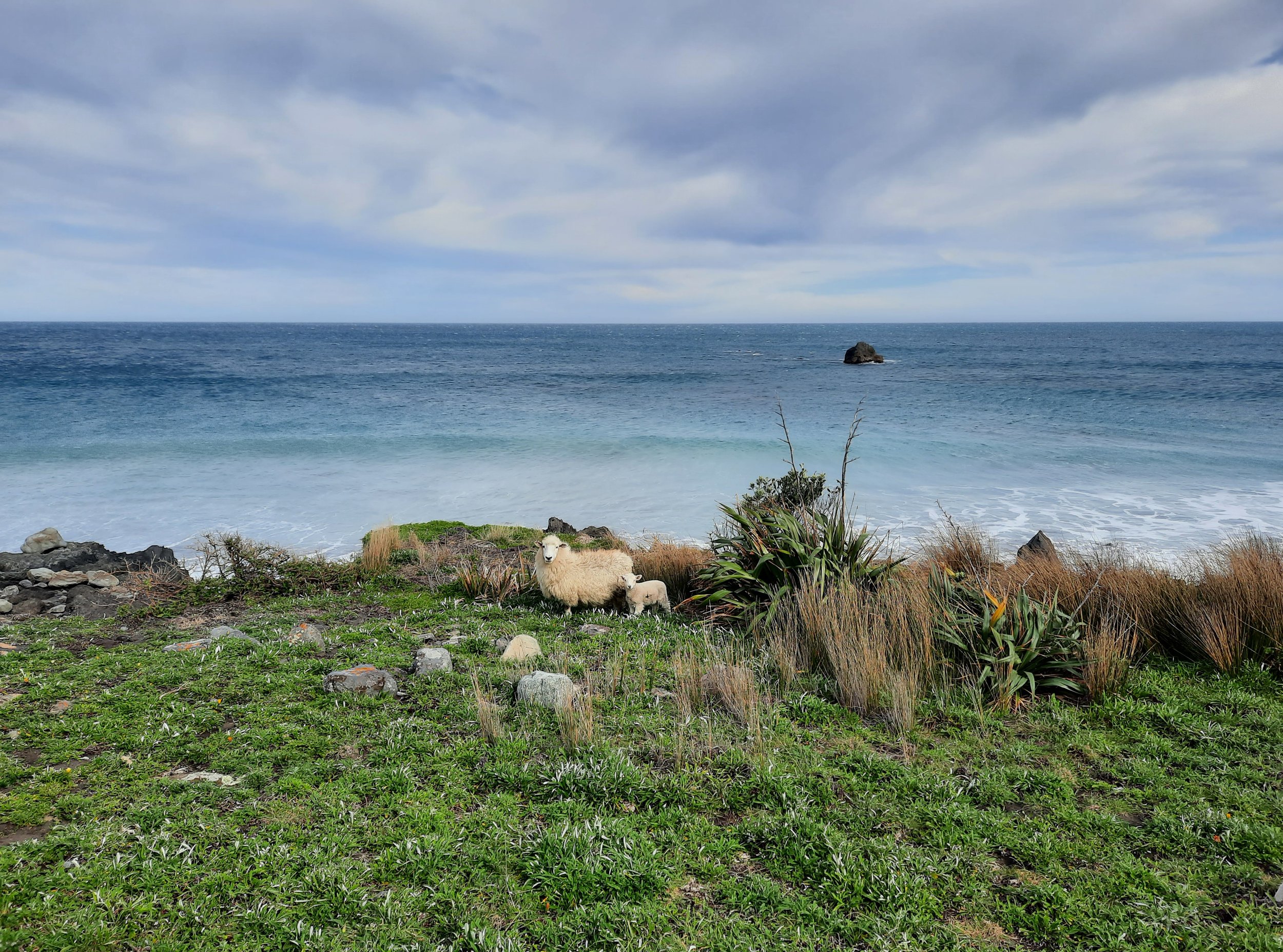
Palliser Bay coast
After returning the Pinnacles parking lot, I drove south toward the Cape Palliser lighthouse.
Fur seals
Cape Palliser and the lighthouse
Hunting
The entire Pinnacles route is in a hunting area. Hunters are forbidden to “discharge firearms near tracks, huts, campsites, road-ends or any other public place.” I have hiked in more than 30 hunting areas, and only passed hunters twice - this wasn’t one of those hikes.
Here is the DOC topomap with all hunting areas visible.
Other pages about the Pinnacles Track
https://www.alltrails.com/trail/new-zealand/wellington/the-pinnacles-loop (a loop involving the streambed track)
Pages about other hikes to the Pinnacles
https://www.alltrails.com/trail/new-zealand/wellington/pinnacles-loop-via-pinnacles-track
https://www.alltrails.com/trail/new-zealand/wellington/pinnacles-lookout-from-te-kopi
Other pages about Palliser Bay
P.S. See my North Island scenery blog post for a nice church which I passed on my drive from Masterton to Cape Palliser.


