Hiking in Japan
The first four hikes are on the main island, Honshū. The last two are on the southwestern island, Kyūshū.
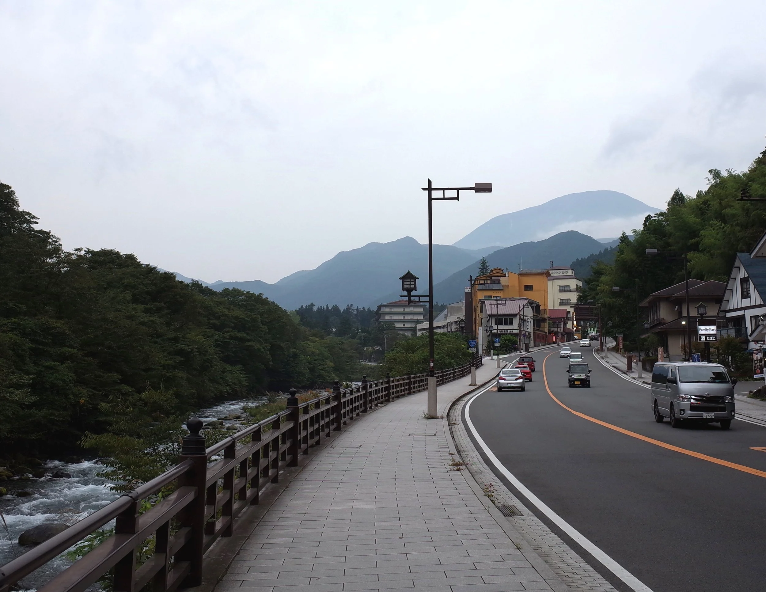
Mt. Nantai (Nantai-san), near Nikkō, Tochigi Pref., Kantō region
The bus from Nikkō takes 40-50 minutes. Hiking is permitted from May to October each year. Guarding the trailhead is a Shintō shrine, the Chugushi branch of Nikkō’s large Futarasan Shrine. The miko in the shrine office charge 1000 yen for admission. The gate is locked when the shrine closes at 17:00, but hikers can unlock it from inside.
It took me a little over 4 hours to reach the peak. On my way down, I made friends with two men jogging downhill together. Once we had jogged to the parking lot, we went to a restaurant/onsen (hot springs bath). This was a first for me.
Mt. Nantai is an active volcano, but it hasn’t erupted for thousands of years. For more info, see AllTrails.
Mt. Tsukuba (Tsukuba-san), near Tsukuba, Ibaraki Pref., Kantō region
It took me 2 hours to reach the top of this forested mountain. The shuttle bus from Tsukuba Station took 40 minutes to reach the Tsukuba shrine trailhead, and 50 minutes to return from the Tsutsujigaoka trailhead. More info: AllTrails.
Though I started at Tsukuba Shrine trailhead and finished at Tsutsujigaoka, the other way around may make more sense. This is because Tsukuba trailhead is closer to Tsukuba Station, so the last bus probably passes by later, and it’s a shorter walk in case of missing the bus.
The mountain has twin peaks. A shop between the twin peaks sells snacks, mainly to tourists who arrive by funicular (starting near the Tsukuba shrine trailhead). If I were to hike Mt. Tsukuba again, I would hike up and take the funicular down, because both trails have stretches which are unpleasantly steep and rocky to descend. The other hikes on this page all offered more interesting views.
Mt. Takao (Takao-san), Hachiōji, Tōkyō, Kantō region
Mt. Takao is perhaps the most popular hike for Tokyo residents who don’t otherwise hike. I experienced it as a pleasant walk uphill through a forest, past various shrine structures and food stalls. Arriving in the morning is probably a good idea, to avoid crowds. The various Buddhist things pictured below seem to be part of Yakuō Temple.
Arashiyama Monkey Park (Iwatayama), Kyōto, Kansai region
This short hike in western Kyōto took me 15-20 minutes one-way.
The primary attraction is the monkey park, the Japanese name of which is fairly familiar for English speakers: Arashiyama Monkī Pāku. I didn’t feed the macaques, because it was free to watch other tourists pay to feed them.
Mt Unzen (Unzen-dake), near Unzen, Shimabara Peninsula, Nagasaki Pref, Kyūshū
This volcano erupted repeatedly in the first half of the 1990s, during Japan’s Heisei Era. The lava dome that formed during these eruptions is Heisei-shinzan, in which shin means ‘new’ and -zan (-san) means ‘mountain’. Heisei-shinzan is the highest peak, but hikers are warned not to approach beyond the viewpoint known as Muhyozawa, due to volcanic gas and the risk of rockfall/landslides. Hikers therefore typically aim for the lower, older peak, Fugen. See map.
During my February hike, the Kun-dani trail on the north face was icy, so I kept to the southern trail, which led directly to Fugen Peak. The trails make a loop near the west face of the lava dome. More info: AllTrails.
It is possible to walk from the town of Unzen to the Nita Pass trailhead along mostly pleasant trails and sidewalks, but it takes a long time. Maybe 90 minutes. There was a taxi, but no bus.
Mt Unzen is dangerous. A pyroclastic flow killed 43 people in 1991. A 1792 eruption had worse consequences, according to Wikipedia:
Out of an estimated total of 15,000 fatalities, around 5,000 are thought to have been killed by the landslide, around 5,000 by the tsunami across the bay in Higo Province [Kumamoto Pref.], and a further 5,000 by the tsunami returning to strike Shimabara.
Weather conditions weren’t good on my first attempt to reach Fugen Peak, so I turned back and hiked a nearby hill, Ya-dake (not pictured). Ya-dake can be seen on this tourist map of the whole peninsula.
Mt. Kaimon (Kaimon-dake), Ibusuki, Satsuma Peninsula, Kagoshima Pref., Kyūshū
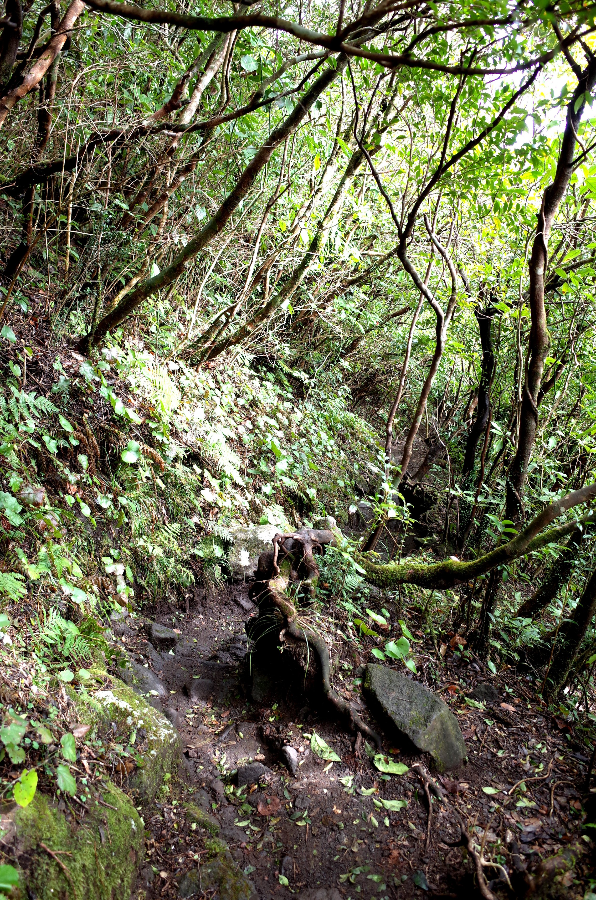
This heavily forested volcano has not erupted in more than 1000 years.
I did a day-trip by train from Kagoshima City to the town of Ibusuki for this hike. There were only two plausible return trains, one of which was after dark, so I jogged down the mountain to make the earlier one. It is not a good trail for jogging.
The nearest shops selling something a hiker might find useful are a ten-minute walk to the east of Kaimon Station. The station is just one unstaffed platform, serving trains that go back and forth on a single track. To me, the neighborhood felt like 1950s Japan must have been.
More info: AllTrails.


