Rangitoto, Auckland
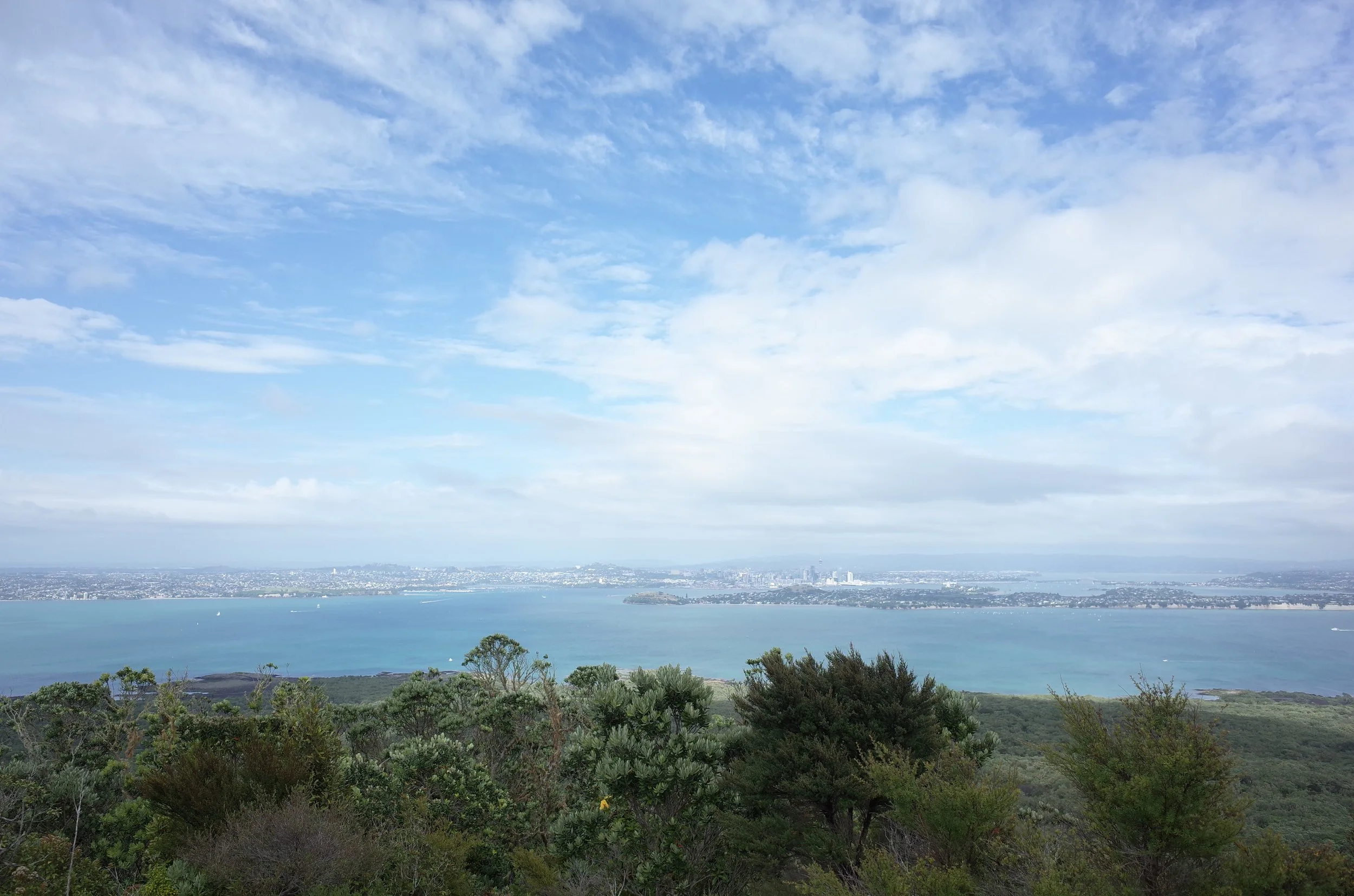
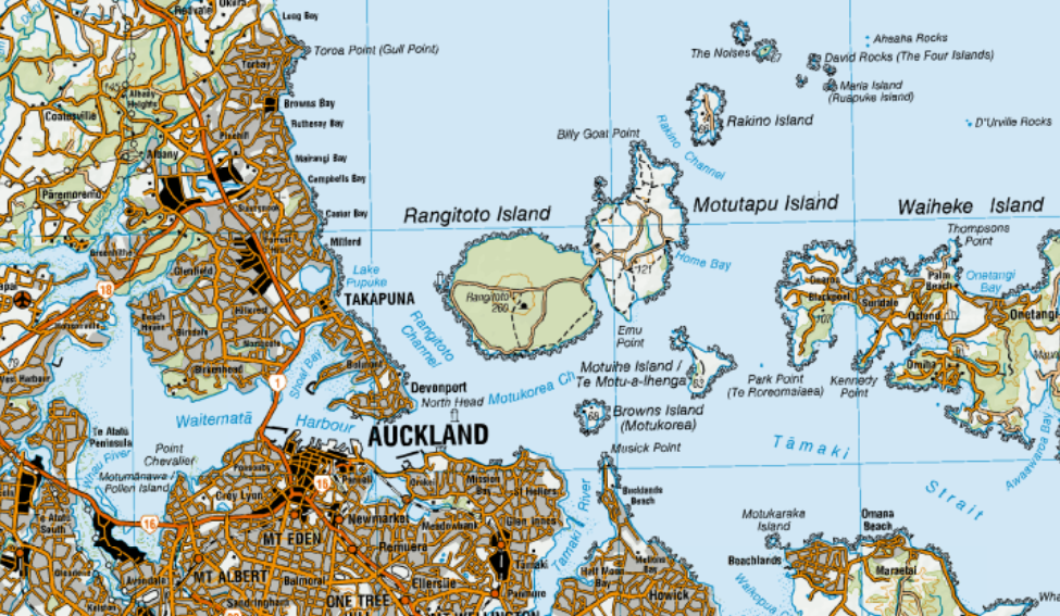
Rangitoto and Auckland.
Screenshots of the NZ topographic map are licensed as CC BY 4.0 by Toitū Te Whenua Land Information New Zealand (LINZ).
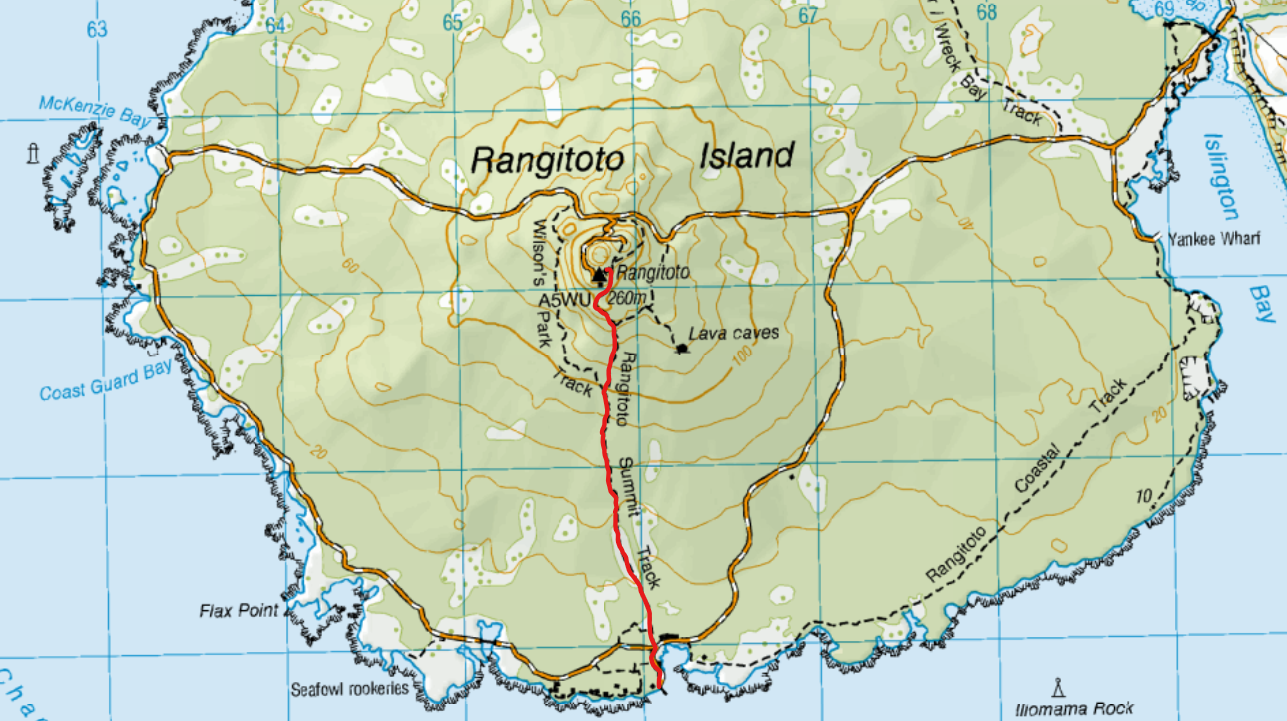
Rangitoto (260m) is an island volcano between Auckland Harbour and the Hauraki Gulf. It is the newest and largest of the dozens of volcanoes of the Auckland volcanic field. The last eruption was 600-700 years ago. After a ferry from the Auckland City ferry terminal (near Britomart Station), it’s a short out-and-back hike from Rangitoto Wharf to the crater rim.
The island’s original full name is Te Rangi-i-totongia-ai-te-ihu-o-Tamatekapua.
Time
DOC estimates 2 hours return. AllTrails users report an average of 1 hour 50 minutes.
Screenshots of the NZ topographic map are licensed as CC BY 4.0 by Toitū Te Whenua Land Information New Zealand (LINZ).
It took me about one hour to reach the summit. I don’t recall how much time the descent took.
Route
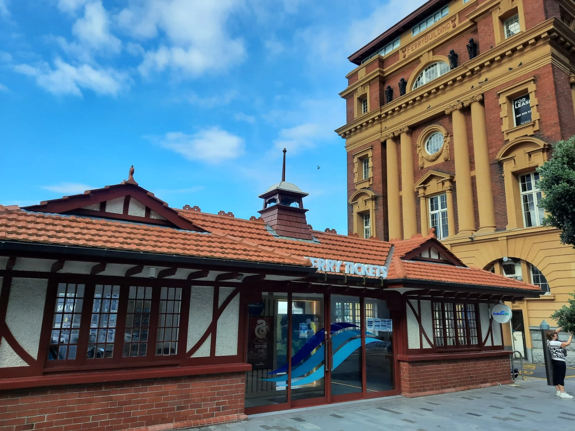
The ferry terminal near Britomart Station is hard to navigate because there’s no standpoint at which you can clearly see which of the piers is which. Maps or staff can point the way. I bought a return ticket on a Fullers360 ferry and disembarked at Rangitoto Wharf.
Here is the timetable from Auckland City ferry terminal, 25 minutes each way.
Here is the timetable from Devonport ferry terminal, 20 minutes each way.
As I recall, there were toilets but no shops on the island.
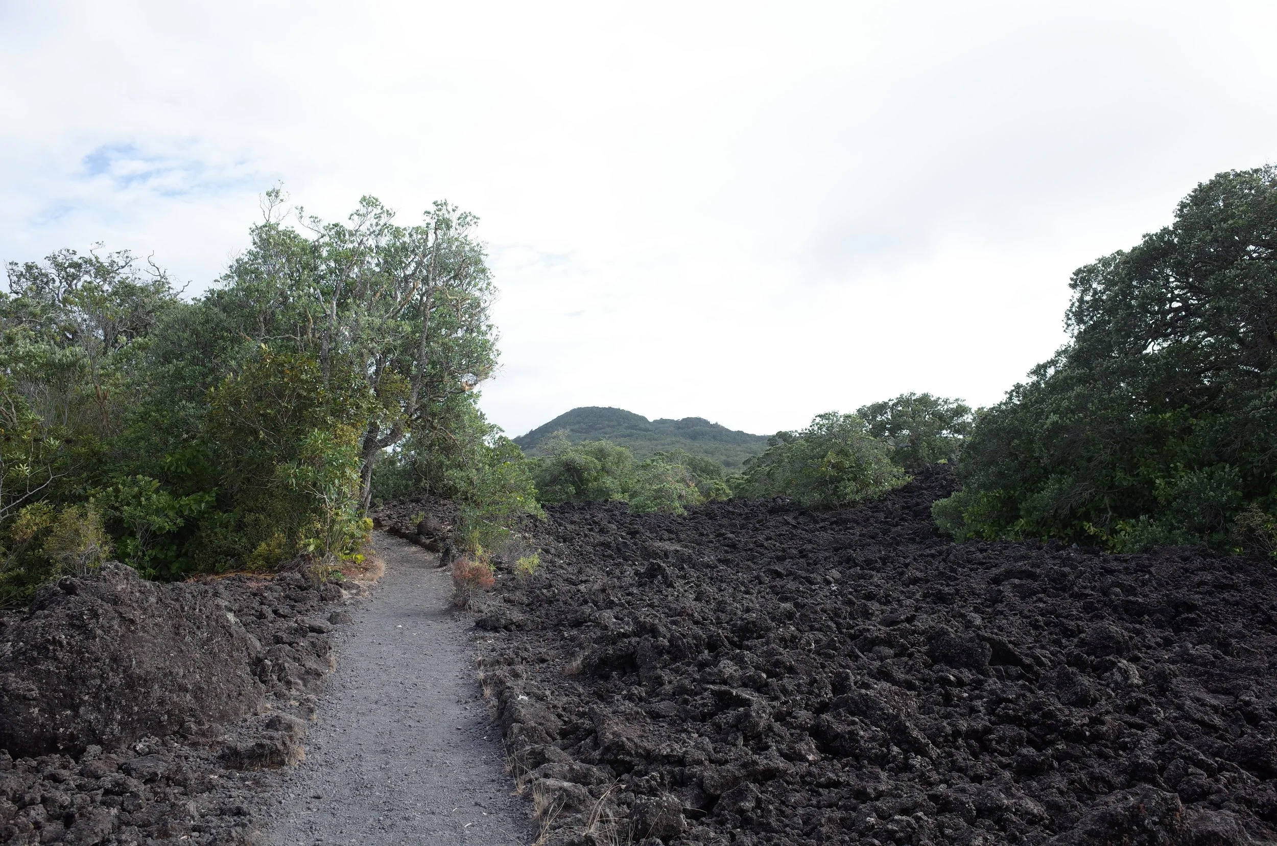
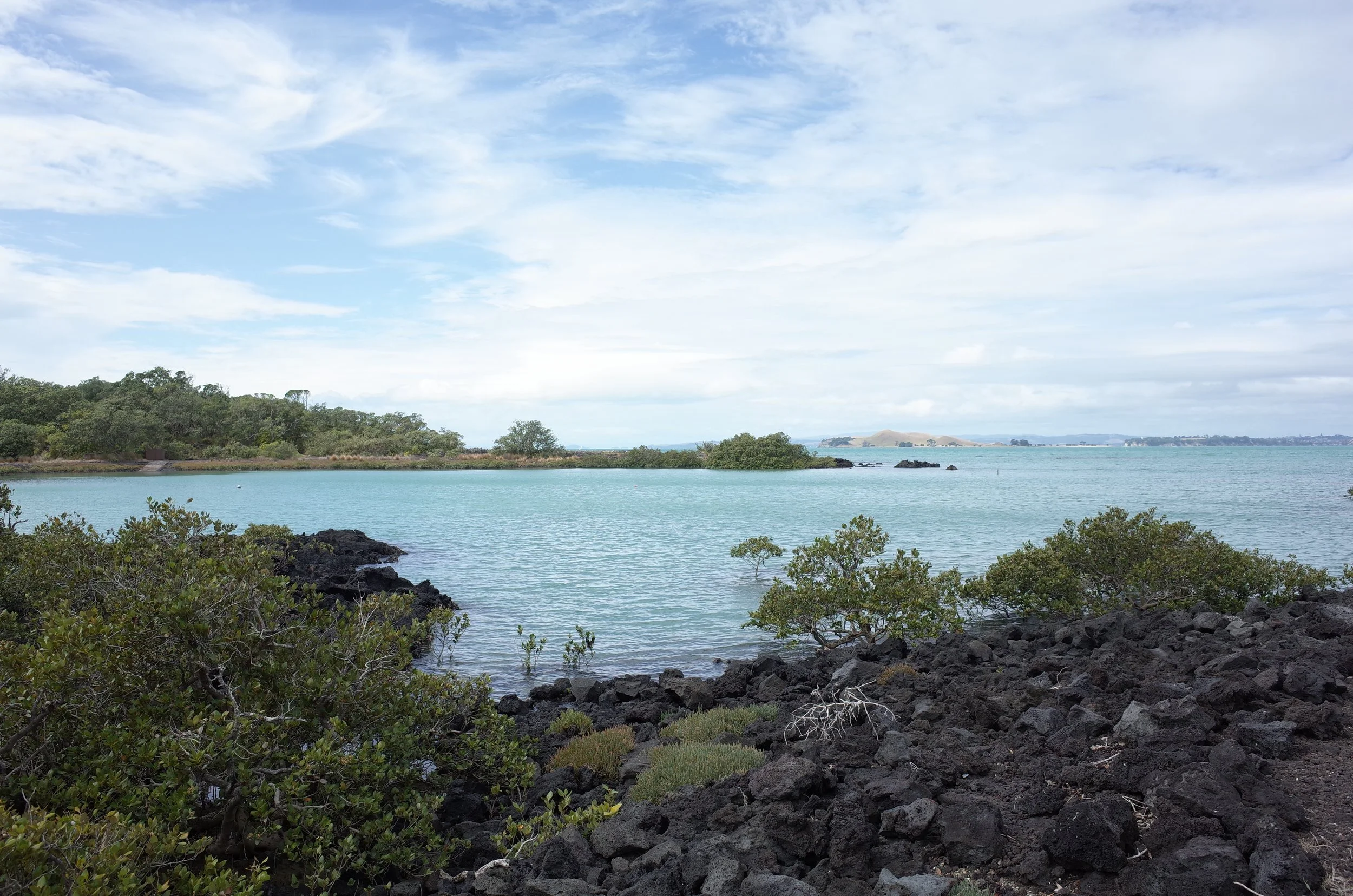
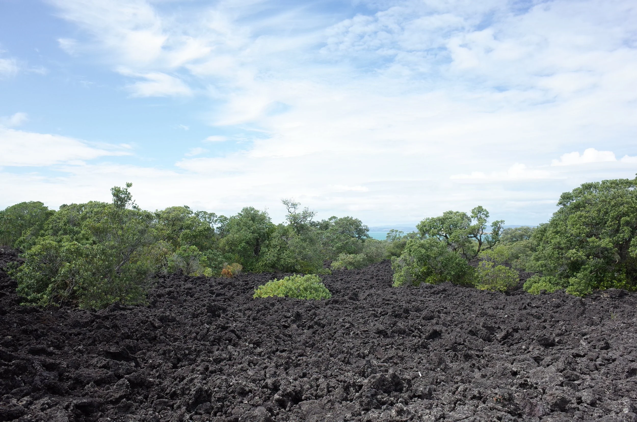
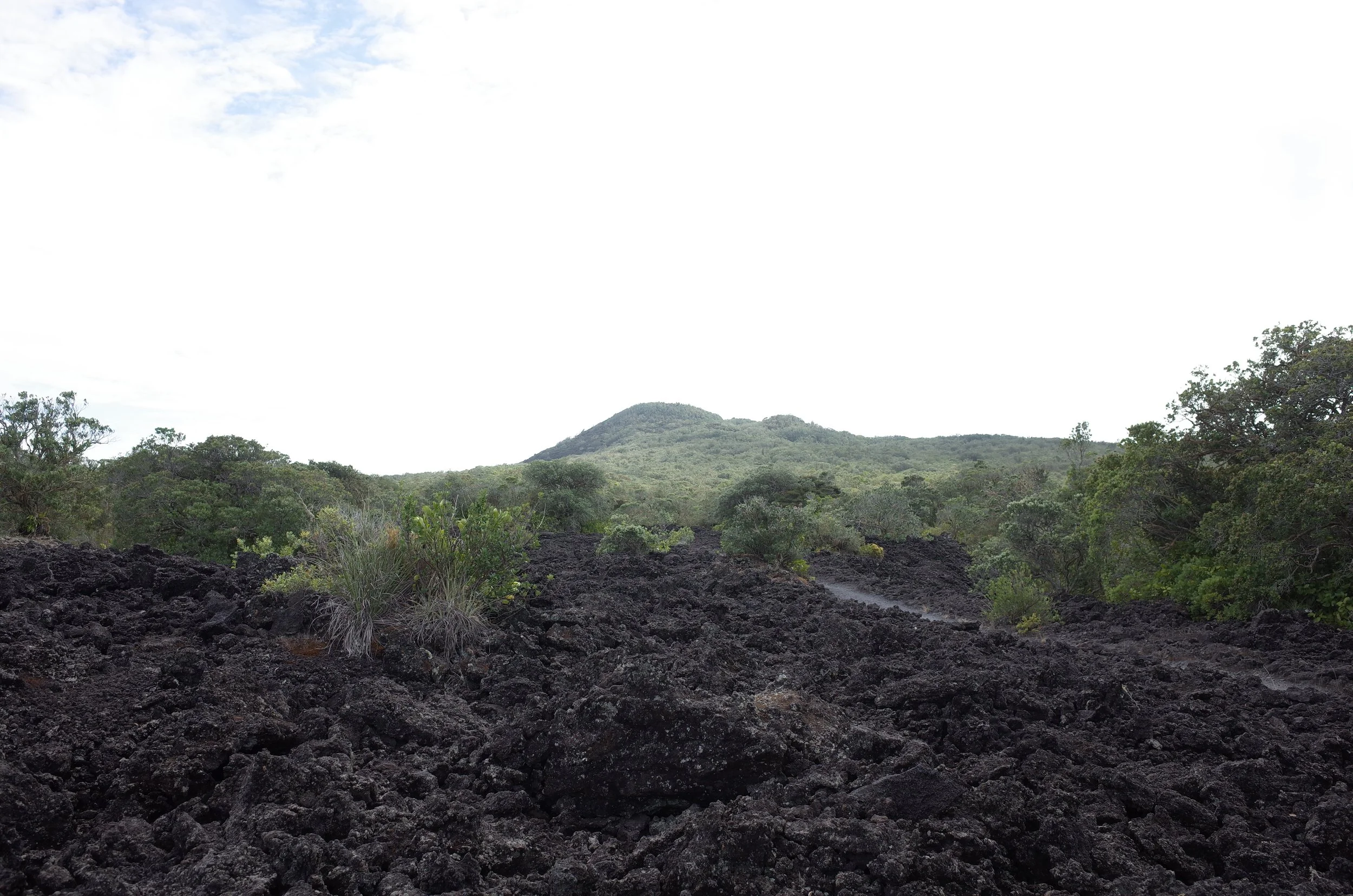
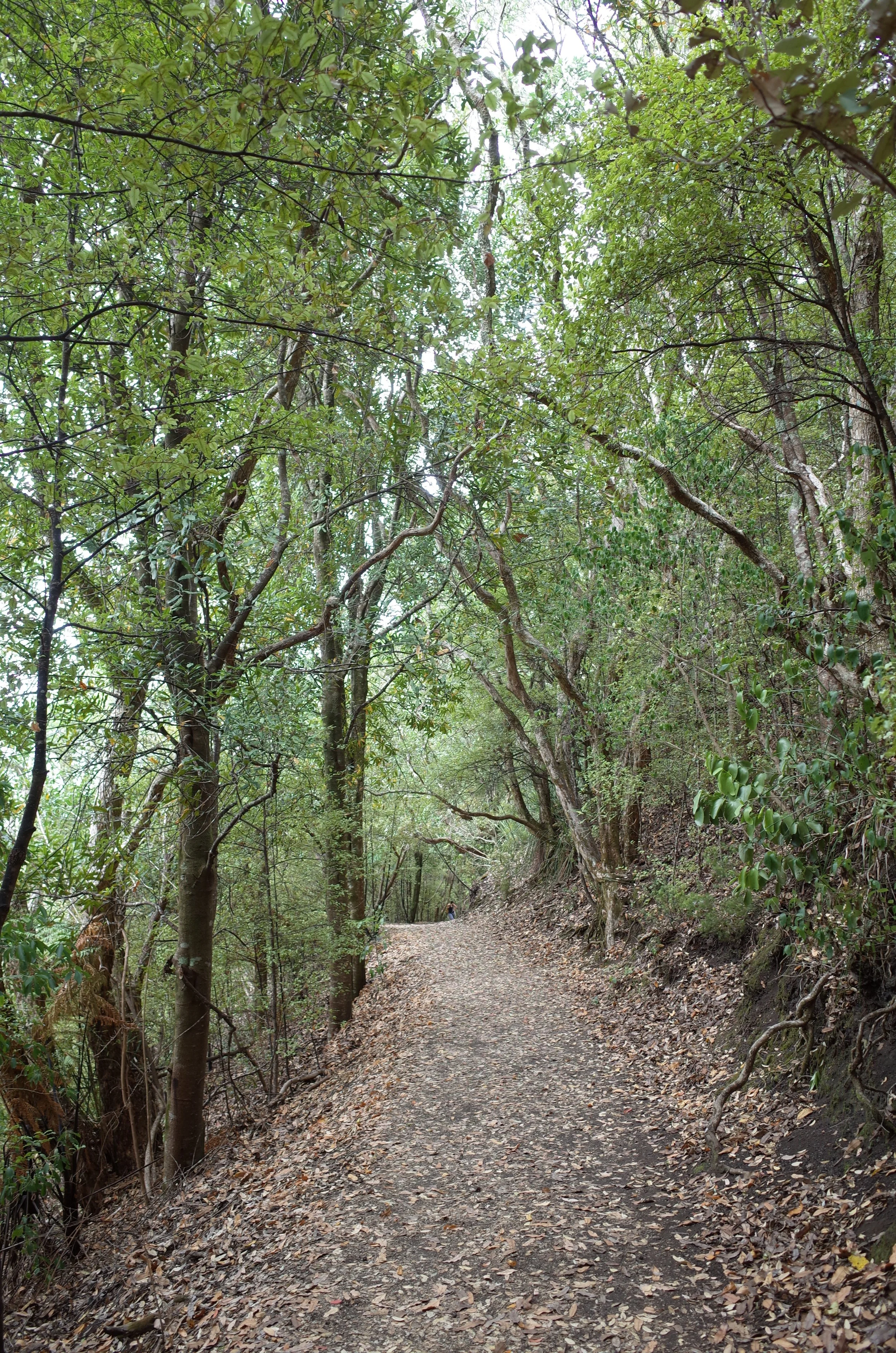
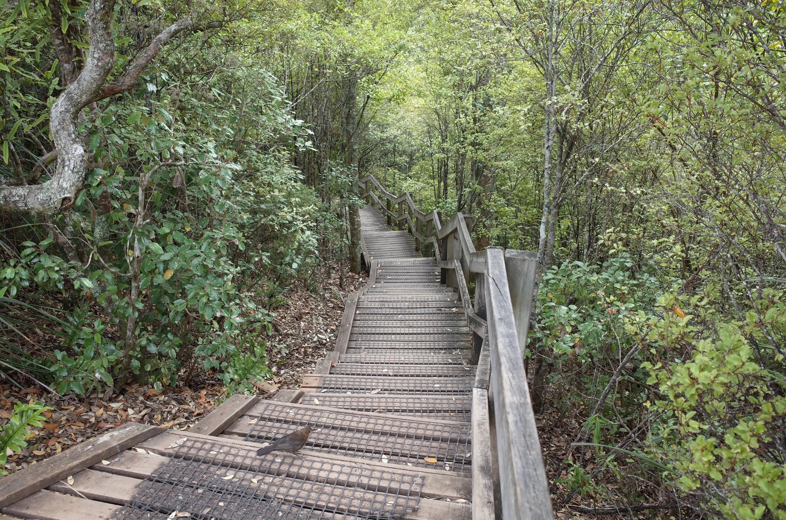
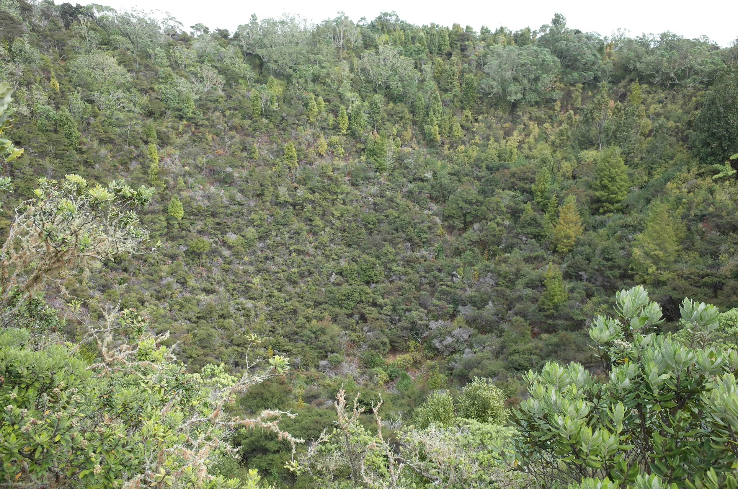
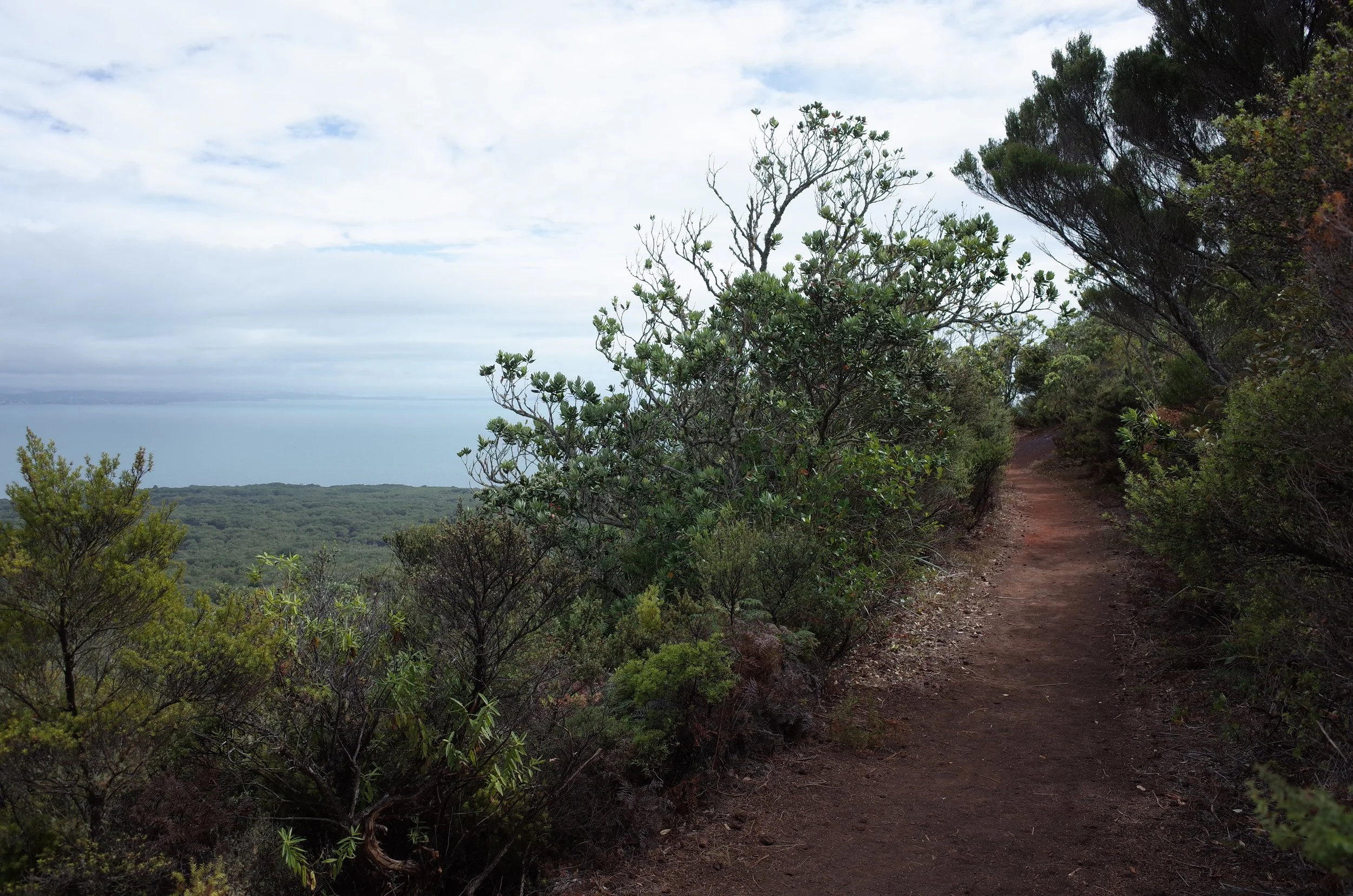
The walk to the crater was mostly forested, but there was a field of dried black lava near the beginning of the trail. If you haven’t seen this before, it may resemble coal, or a coral reef that somehow became black. Most of the trail was smooth. There were steps up to the crater, and maybe in one other place.
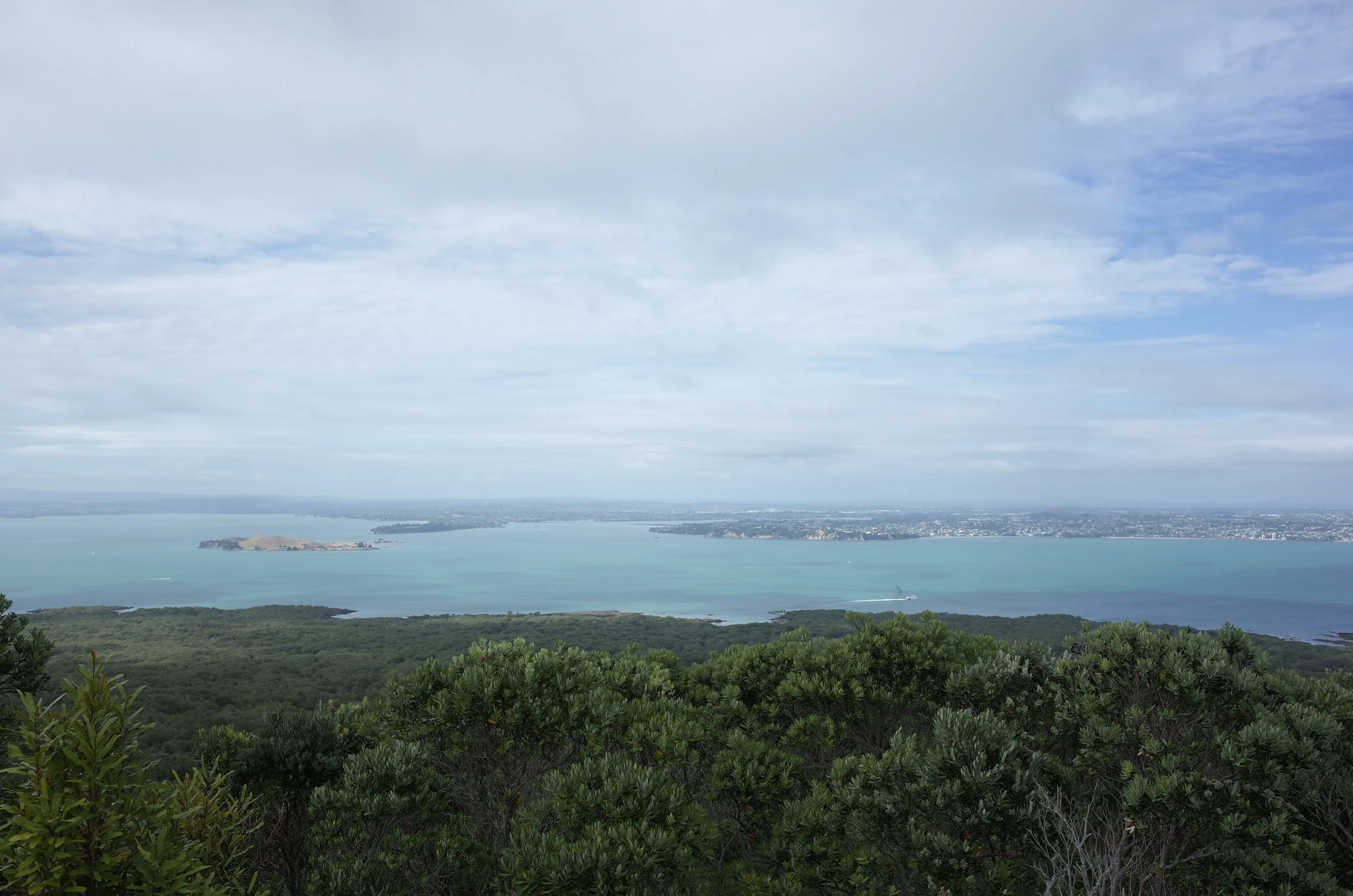
The high point of the trail is beside the crater. The forested crater is unspectacular. It didn’t interest me as much as a family of five brown quail scurrying through the dust near the benches where I was resting.
There are lava caves not far from the summit, which I didn’t visit.
When I hiked in 2020, tourists could ride a trailer pulled by a tractor to somewhere near the summit, and walk the final distance up some steps. It seems that this Volcanic Explorer no longer operating.
If 1 is an easy track, and 4 is using hands and feet on exposed rocks, I give this track a 1 throughout.
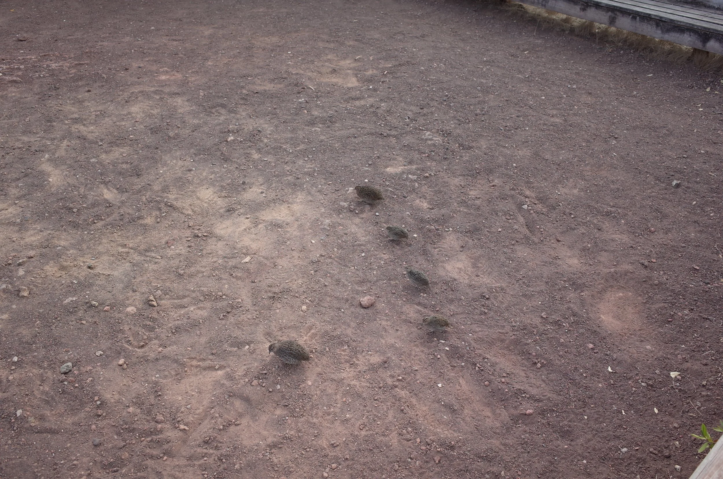
A family of brown quail, hoping for food in the rest area near the crater.
Other pages about this hike
Pages about other Rangitoto and Motutapu Island walks
https://www.alltrails.com/en-gb/trail/new-zealand/auckland/rangitoto-summit-loop-and-lava-caves
https://www.alltrails.com/en-gb/trail/new-zealand/auckland/rangitoto-island-loop
https://jontynz.com/2020/12/15/rangitoto-overnighter-and-motutapu-explore/
Context
One night a 'tupua’ couple, started to argue. This couple were children of the Fire Gods. In their argument they cursed the fire deity Mahuika. Mahuika heard them and went to Mataoho, the deity of earthquakes and eruptions. He sent an eruption to destroy the couple’s mainland home on behalf of Mahuika.
As a result, their home was swallowed up by the earth to become Lake Pupuke on Auckland’s North Shore; this led to Rangitoto rising out of the sea. When mist surrounds Rangitoto, it is said that it represents the tears of the couple as they weep over their lost home.
“It is unlikely Rangitoto will erupt again,” says GeoNet. “It could blow again,” says Stuff, citing University of Auckland associate professor of geology Phil Shane.
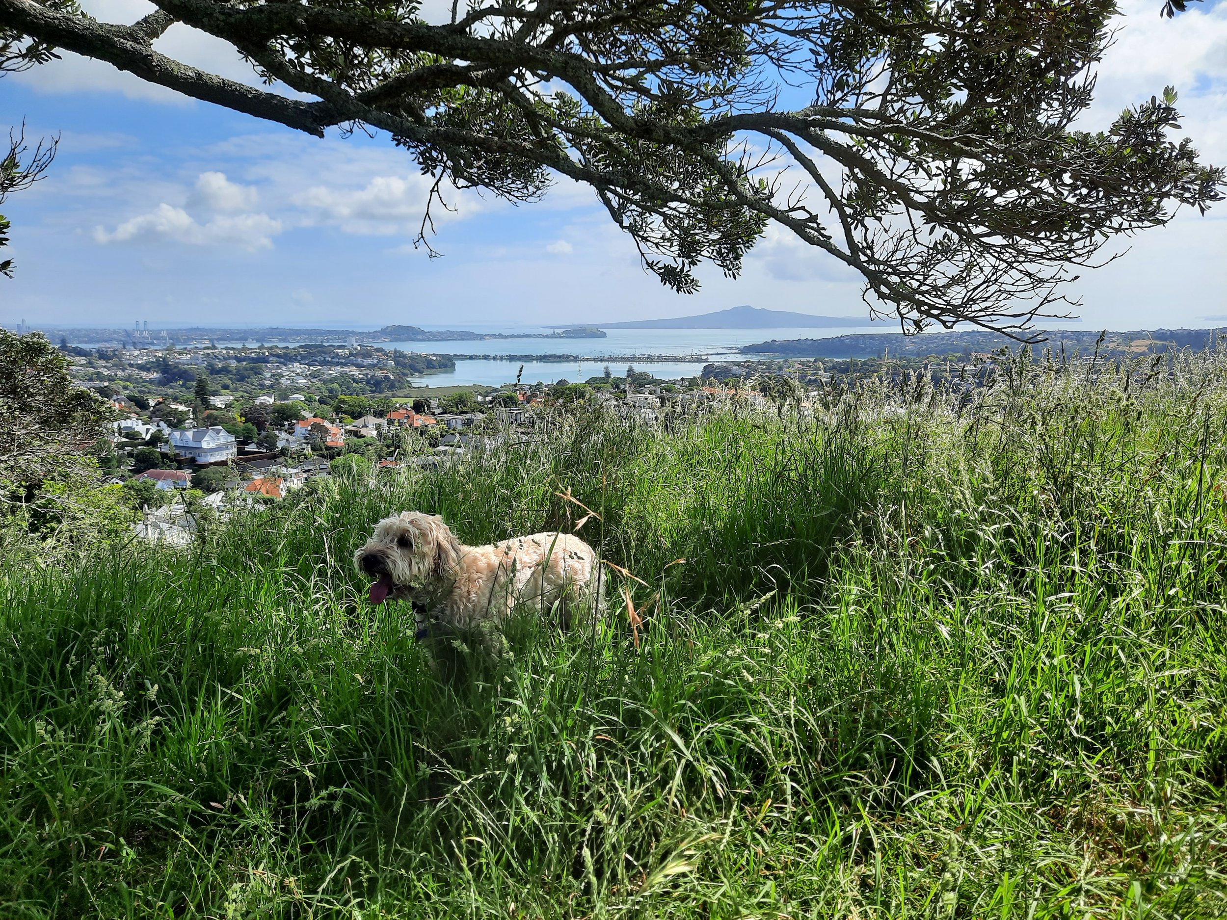
No landform is more familiar to Aucklanders than Rangitoto Island and yet how many of them ever go there?
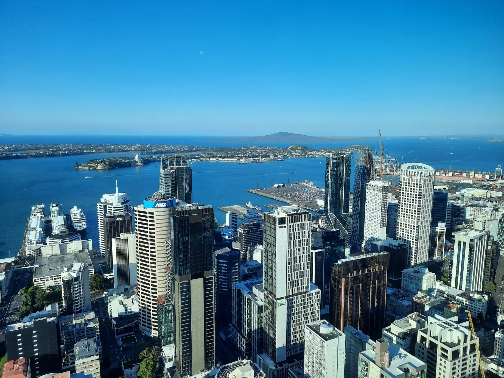
Rangitoto seen from Auckland, west to east