
Peak Hill, Lake Coleridge
Medium-length hike 15 minutes from Lake Coleridge village, 45 minutes from Methven.

Mt Somers via Sharplin Falls, Mt Somers village
Long hike 12 minutes from Mt Somers village. 25 minutes from Methven.

Mt Barrosa, Mt Somers village
Medium-length hike 15 minutes from Mt Somers village. 35 minutes from Methven.

Mt Guy, Lake Clearwater
Medium-length circuit from Lake Clearwater holiday village. 30 minutes from Mt Somers village.

Mt John, Lake Tekapo
Short hike from Lake Tekapo village up Mt John, and back to the village along Lake Tekapo.

Sealy Tarns, Mt Cook village
Short hike on Mt Ollivier, not as far as Mueller Hut. Walking distance from Mt Cook village.

Benmore Peninsula, Otematata
Short hike in Waitaki Valley. 5 minutes from Otematata, 25 from Ōmarama.
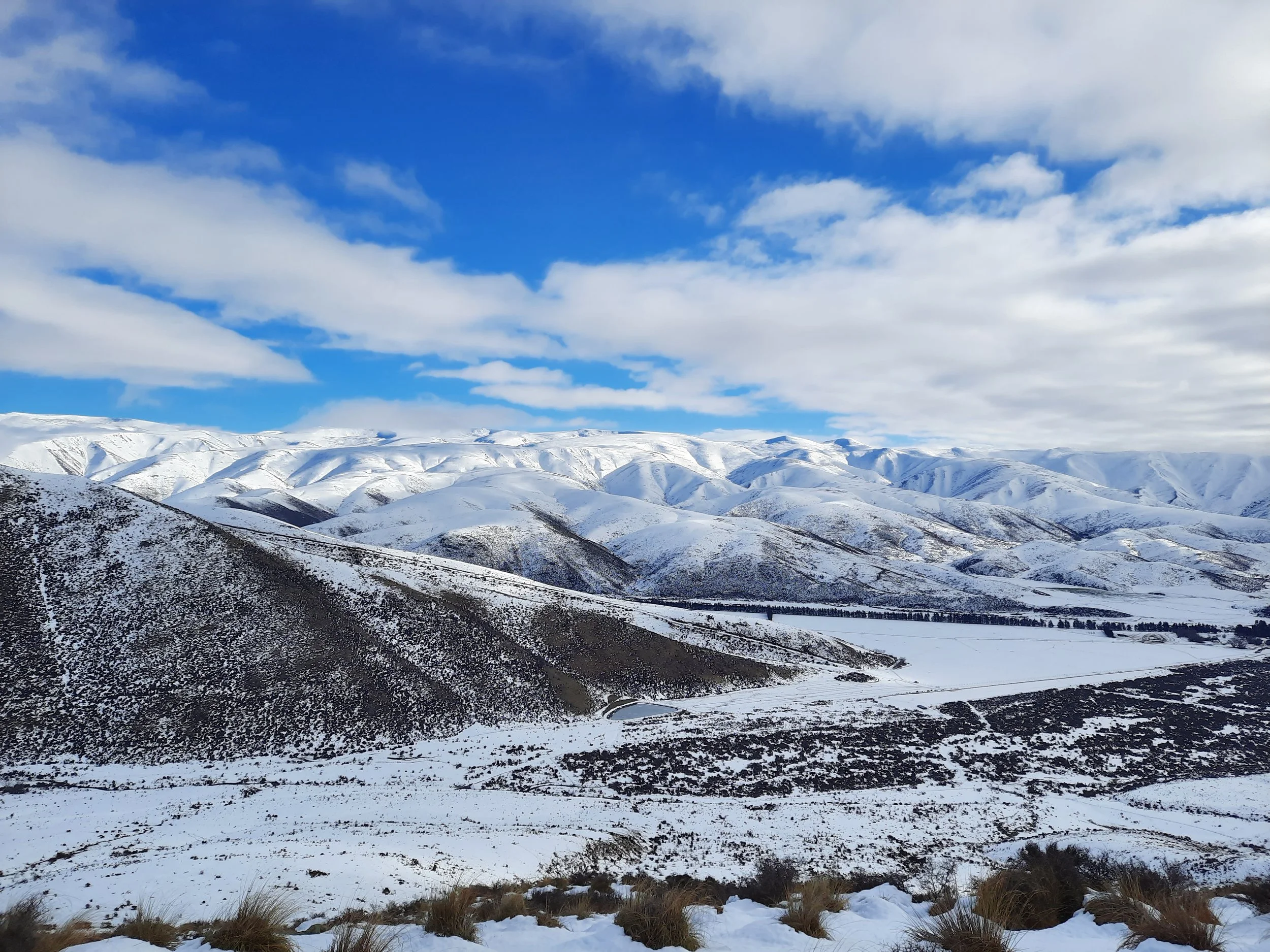
Ewe Range Track, Ōmarama
Short hike (partial) through Mackenzie Basin hill pasture. 20 minutes from Ōmarama.
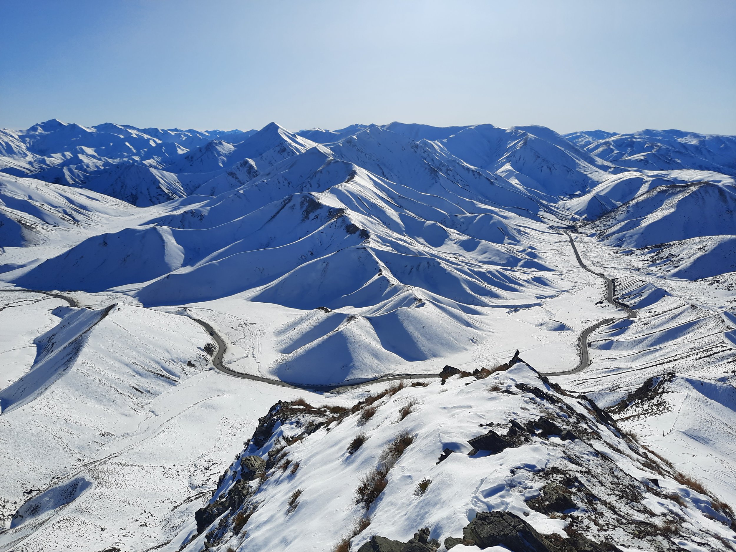
Double Peak, Lindis Pass
Short hike at the boundary of Otago and the Mackenzie Basin (Canterbury). 25 minutes from Ōmarama.
Breast Hill, Lake Hāwea
Long hike on the east shore of Lake Hāwea. 10 minutes from Hāwea township.

Corner Peak, Lake Hāwea
Very long hike on the east shore of Lake Hāwea. 20 minutes from Hāwea township.
Sentinel Peak, Lake Hāwea
Very long hike on the north shore of Lake Hāwea. 30 minutes from Hāwea township.
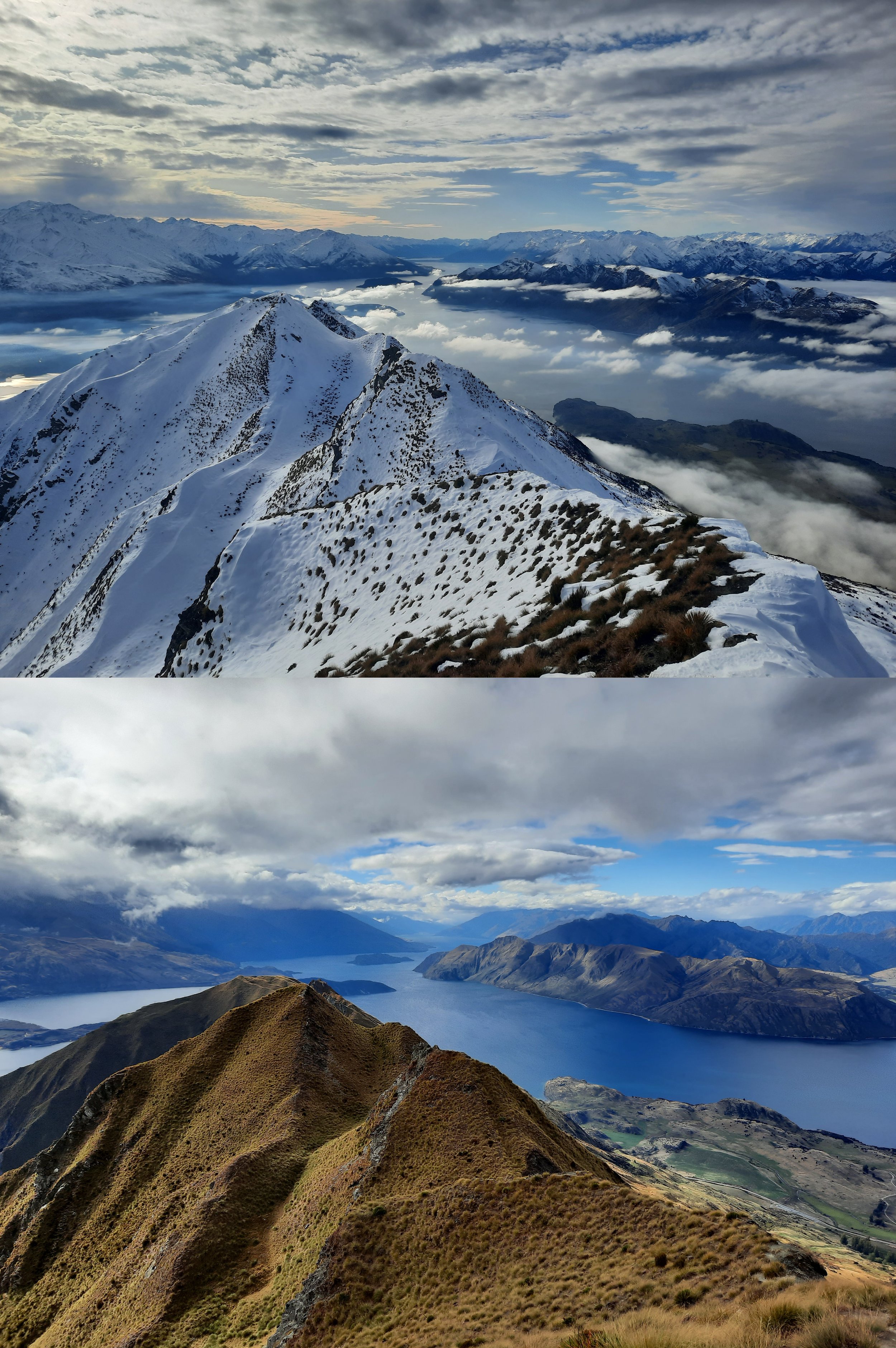
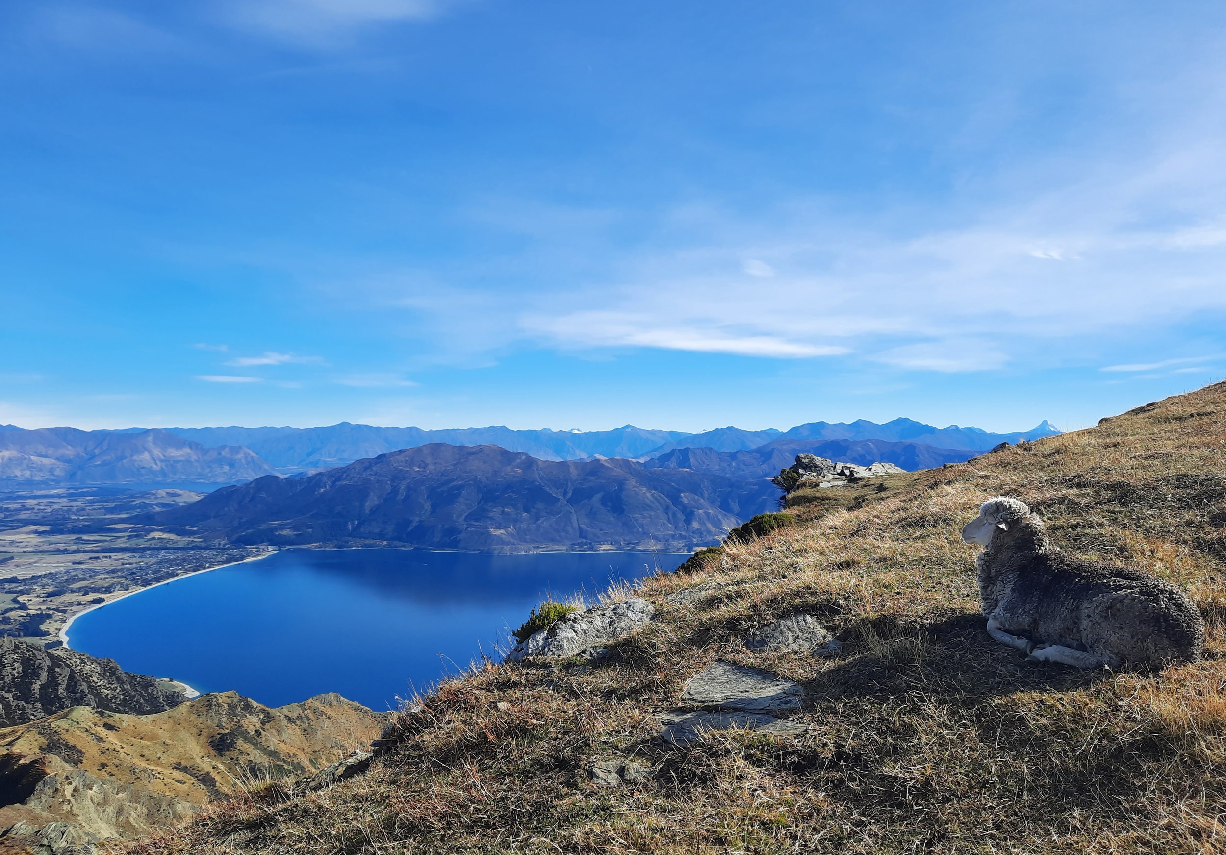
Roy’s Peak, Wānaka: Summer vs Winter
Hiking to Roy’s Peak without snow, and to the famous lookout point in snow. A long hike 10 minutes from Wānaka.

Isthmus Peak, Lake Hāwea
Long hike on isthmus between Lakes Wānaka & Hāwea. 20 minutes from Hāwea township.

Rocky Mountain, Wānaka
Short hike 20 minutes from Wānaka. Passes by Diamond Lake.
Rock Peak, Arrowtown
Short hike in Pisa Conservation Area, 20 minutes from Arrowtown.
Moonlight Track, Queenstown
Long hike from Arthur’s Point to Ben Lomond Saddle, via less-used route. 10 minutes from Queenstown.

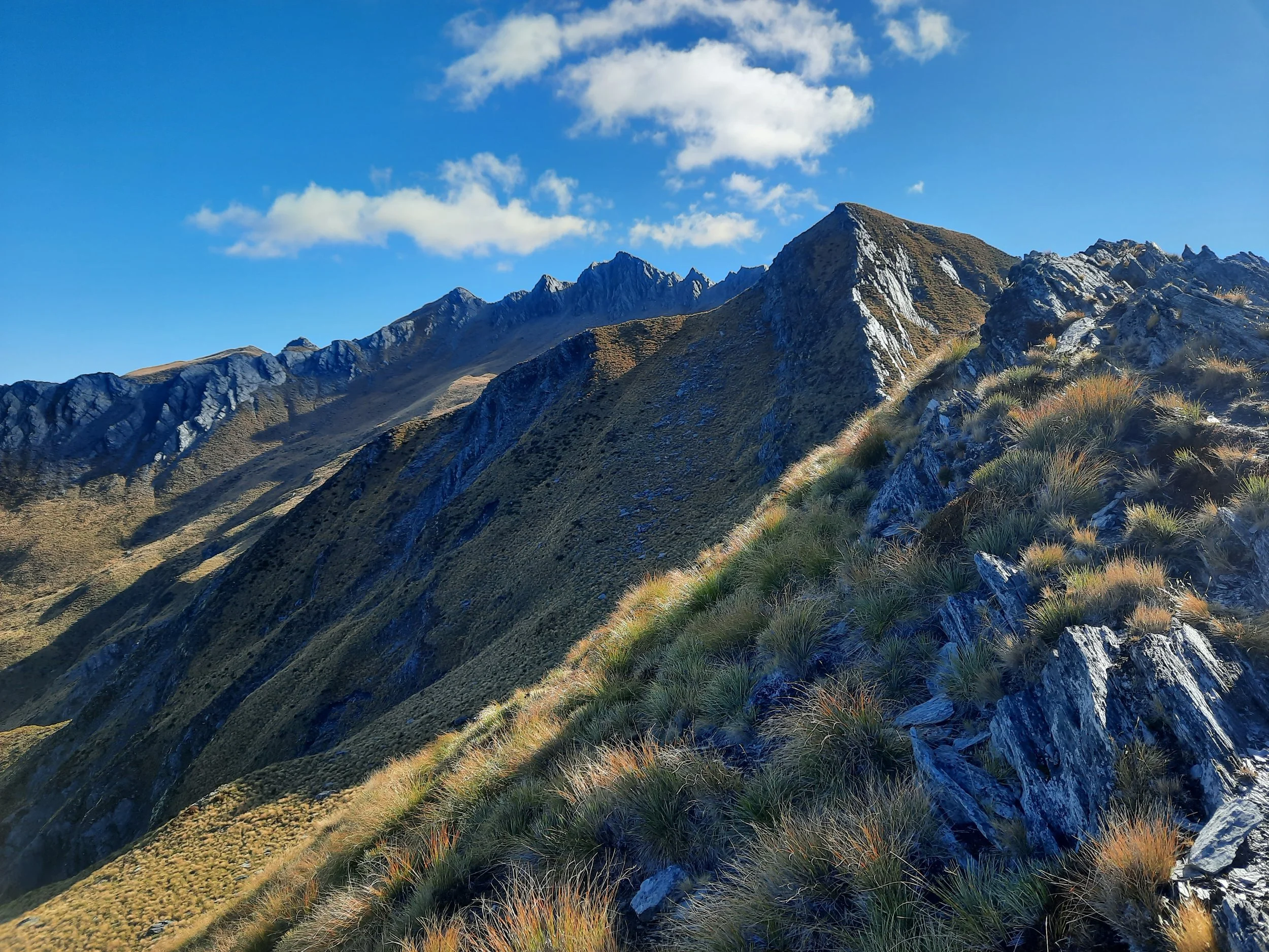
Crown Peak, Arrowtown
Long hike, accessible on foot from Arrowtown.

Brow Peak, Arrowtown
Medium-length hike, accessible on foot from Arrowtown.

Jack’s Point vs Kelvin Peninsula, Queenstown
Comparing short hikes/walks at either end of the longer Jack’s Point Track. Near Queenstown.