Mt Ida via Tourist Spur, Naseby
Mt Ida (1690m) is the highest peak in the Ida Range, which rises above the Maniototo Plain in Central Otago, South Island. I did a long hike on it starting in Naseby Forest and climbing to the Ida Range ridge via Tourist Spur. My trailhead was around 15 minutes from Naseby and 20 minutes from Ranfurly. There are multiple possible trailheads, each of them with access issues; below I discuss the ones near Naseby.
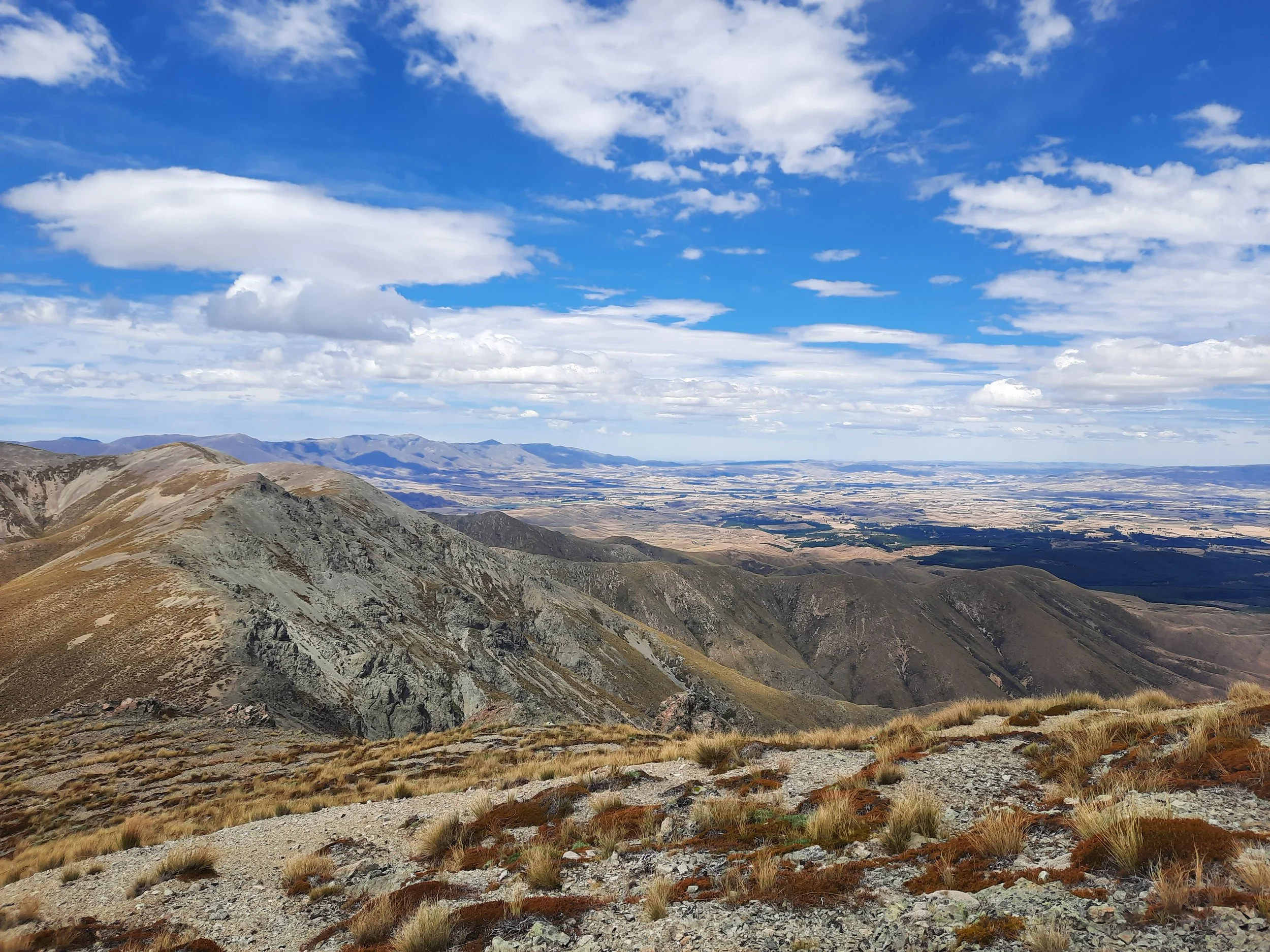
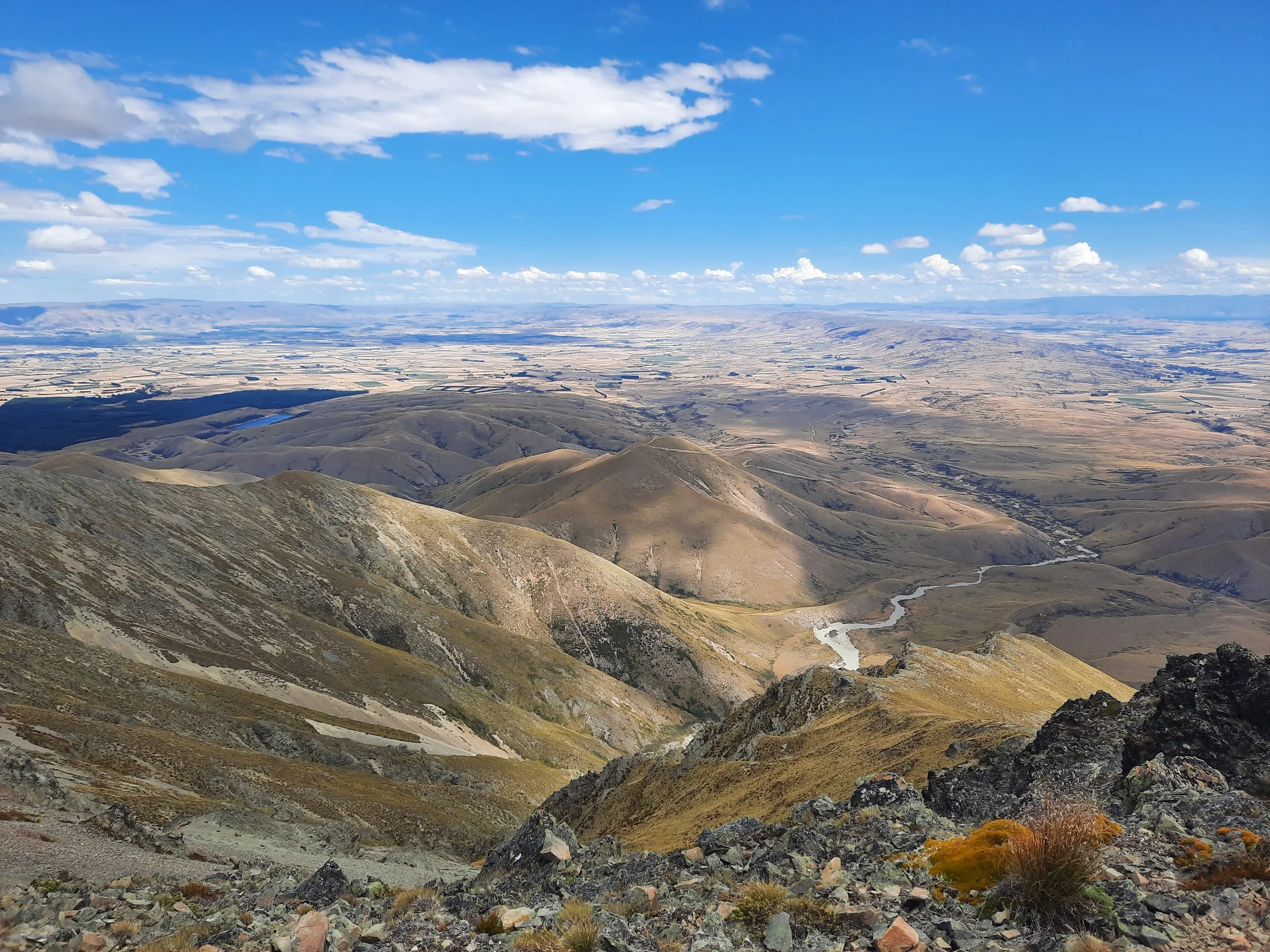
The summit might offer the most commanding viewpoint over the Maniototo. It allowed me to see that the east face of the Rock and Pillar Range, Raggedy Range, Blackstone Hill, and Rough Range were all uninteresting hiking territory. From then on I have felt less regret that I have merely driven through/past these ranges.
Don’t confuse this Mt Ida with the other Mt Ida, which is near the Rakaia River in Central Canterbury. Technically, both Mt Idas are in Canterbury, because the Canterbury-Otago boundary runs at or near the Ida Range ridge.
Time
Including breaks, it took me around 9.5 hours. It was around 5 hours 10 minutes to the summit alone, including breaks.
Access
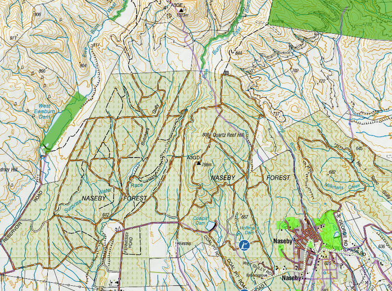
The translucent bright and medium green patches, and the faint purple lines, are areas with legal public access - provided Naseby Forest hasn’t closed the relevant area due to a hazard (I think). The purple lines are called paper roads. When you’re lucky, they go over real roads.
Screenshots of the NZ topographic map are licensed as CC BY 4.0 by Toitū Te Whenua Land Information New Zealand (LINZ). This one is from the Walking Access Commission website, whereas most of the ones I use are from the DOC website.
My ascent route was on Tourist Spur, so it's easy for tourists to access, right? Wrong!
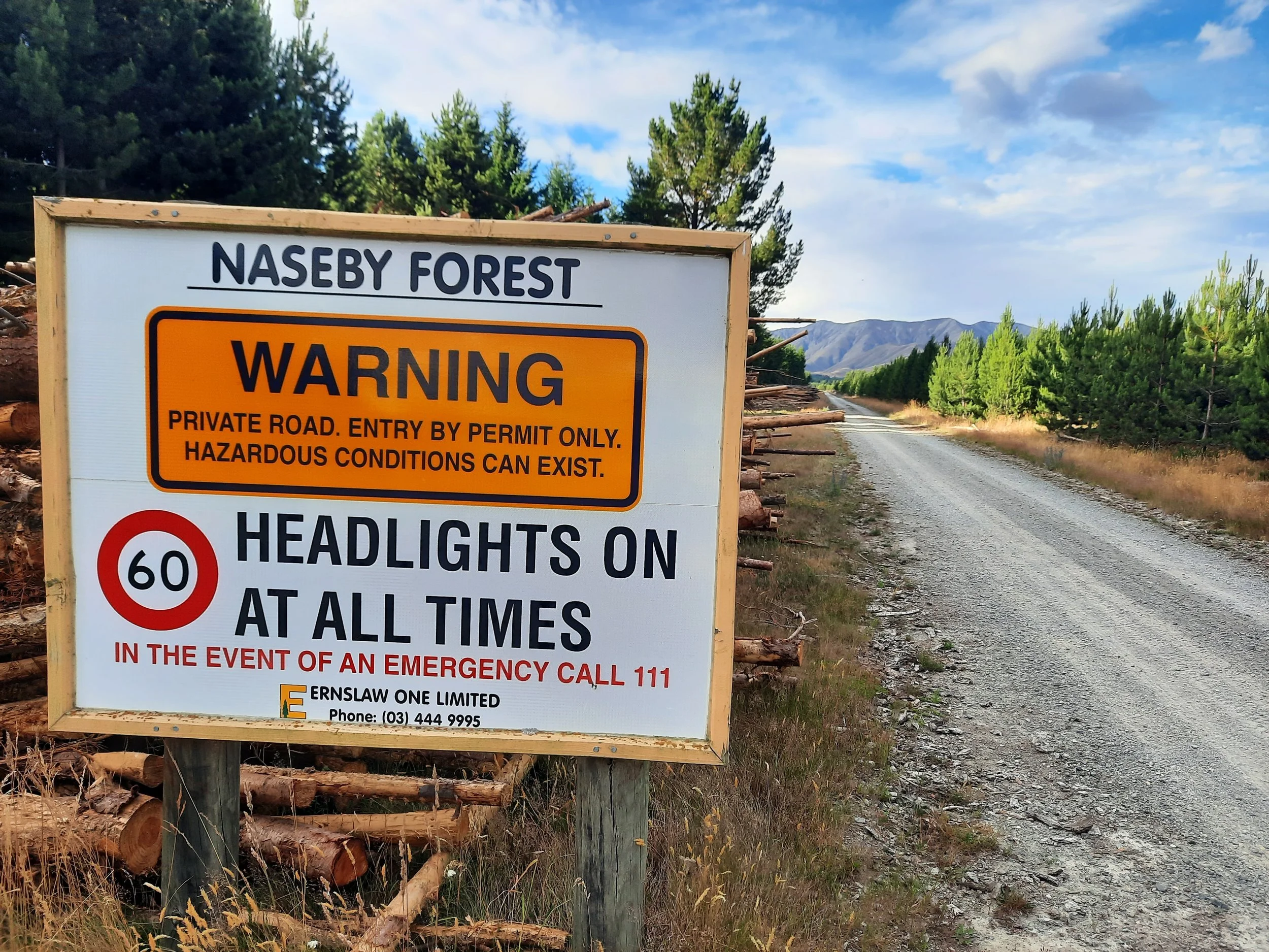
First I contacted the Ranfurly visitor info center (isite). They told me that Ernslaw One owns the land up to the boundary of Oteake Conservation Park, much of which is a pine plantation named Naseby Forest. You can find contact details on Ernslaw One’s website. I reached the office, and the manager called me back during his lunch break to grant permission. I misunderstood which route through the western forest to Tourist Spur he was granting me permission to use, and, more importantly, when he intended me to use it. The below details will be of great benefit to any future hikers:
Hikers need the manager's permission for both the route they want to use and their transport (walking, mountain biking, or driving). This should result in a written permit that tells you exactly which roads to follow through the warren-like forest. Then, you will need to check with the office on the day of the hike, to make sure that no hazard - such as logging, fire risk, hunting for pests, etc. - has arisen at short notice. This is inconvenient, as the office only opens at 09:00.
The forest is full of rough dirt roads not navigable with Google Maps, and not shown except on the satellite version. All of the roads seem to be shown, without names, on the NZ topomap. I used the NZ Topo 50 S smartphone app to navigate to the road end which is closest to Tourist Spur, approximately here on Google Maps, without knowing its name in advance. The roads are all named/signposted in the forest itself, probably for the benefit of lumberjacks new to the area.
In theory, there is another way to reach Tourist Spur via Naseby Forest.
First, the hiker would cross the main portion of the eastern forest’s recreation area, which is open for public use when there is no hazard. See its Facebook page for daily access updates. The best map I’ve found is here.
At its northern boundary, the hiker would follow a paper road - a legal right-of-way that was never turned into a real road. It is visible as a purple line when you zoom in on the Walking Access Commission’s Outdoor Access Map, ascending Quartz Reef Hill, then descending to cross the Ewe Burn, before ascending to A3GE (Point 1023) on Tourist Spur, and shortly after joining the 4WD track that I took up the ridge. On the topomap screenshot, I’ve used a cyan dot at this theoretical Y-intersection.
I would never try this route, because I know from Scottish experience that it’s difficult to push through a pine plantation. There isn’t much space between trees.
A different paper road, starting at the northern boundary of the easternmost part of Naseby Forest, connects with a portion of Oteake Conservation Park on the spur east of Tourist Spur. Following it looks topographically unpleasant, but at least it wouldn’t involve pushing through a pine plantation.
Post your experience requesting access in the comments below.
Another access route, not involving Naseby Forest or Tourist Spur, is described in this North Otago TMC trip report. I don’t know whose private land they crossed.
Route
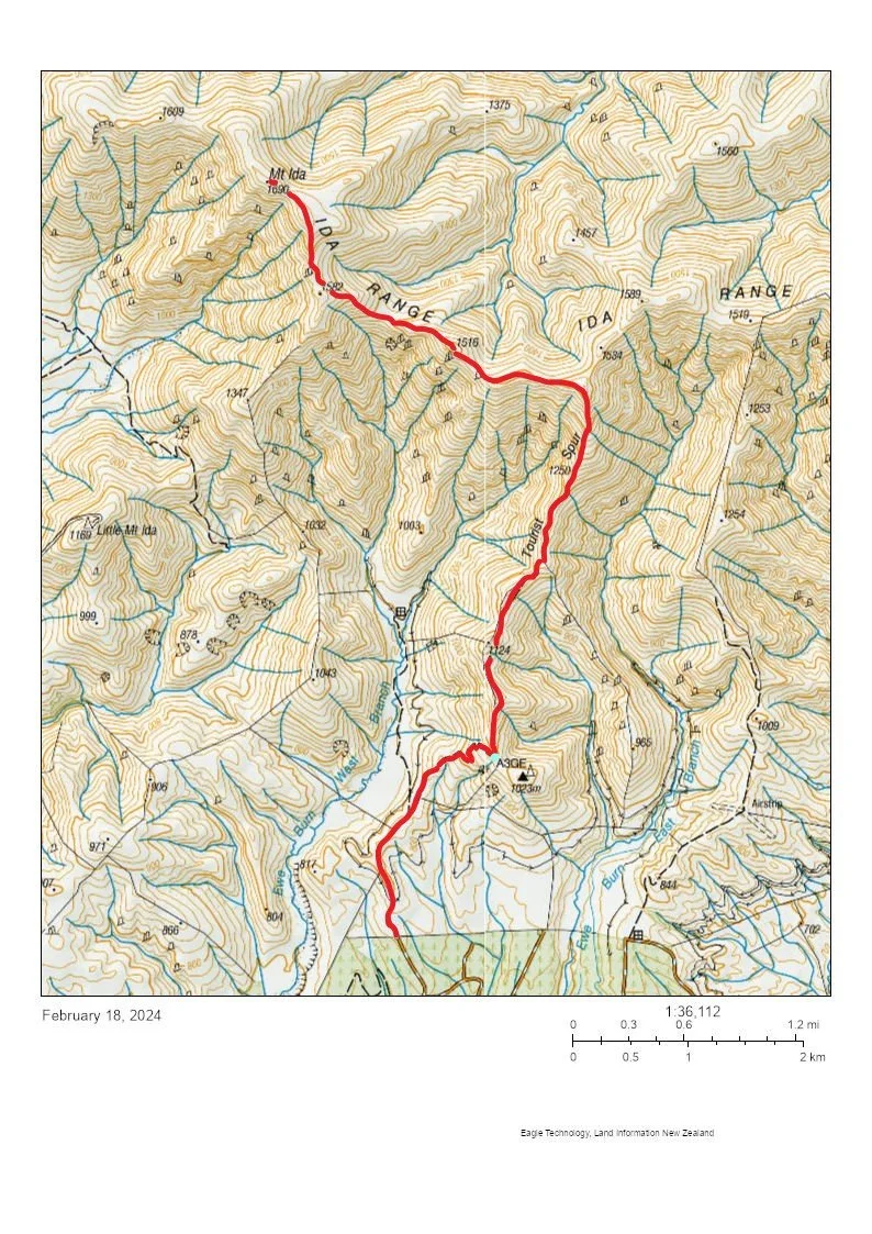
The cyan dot shows where a paper road (not shown) joins my route.
Screenshots of the NZ topographic map are licensed as CC BY 4.0 by Toitū Te Whenua Land Information New Zealand (LINZ).
I drove through Naseby Forest with my windows down, so I would hear any falling trees, but I heard nothing. I did see a deer.
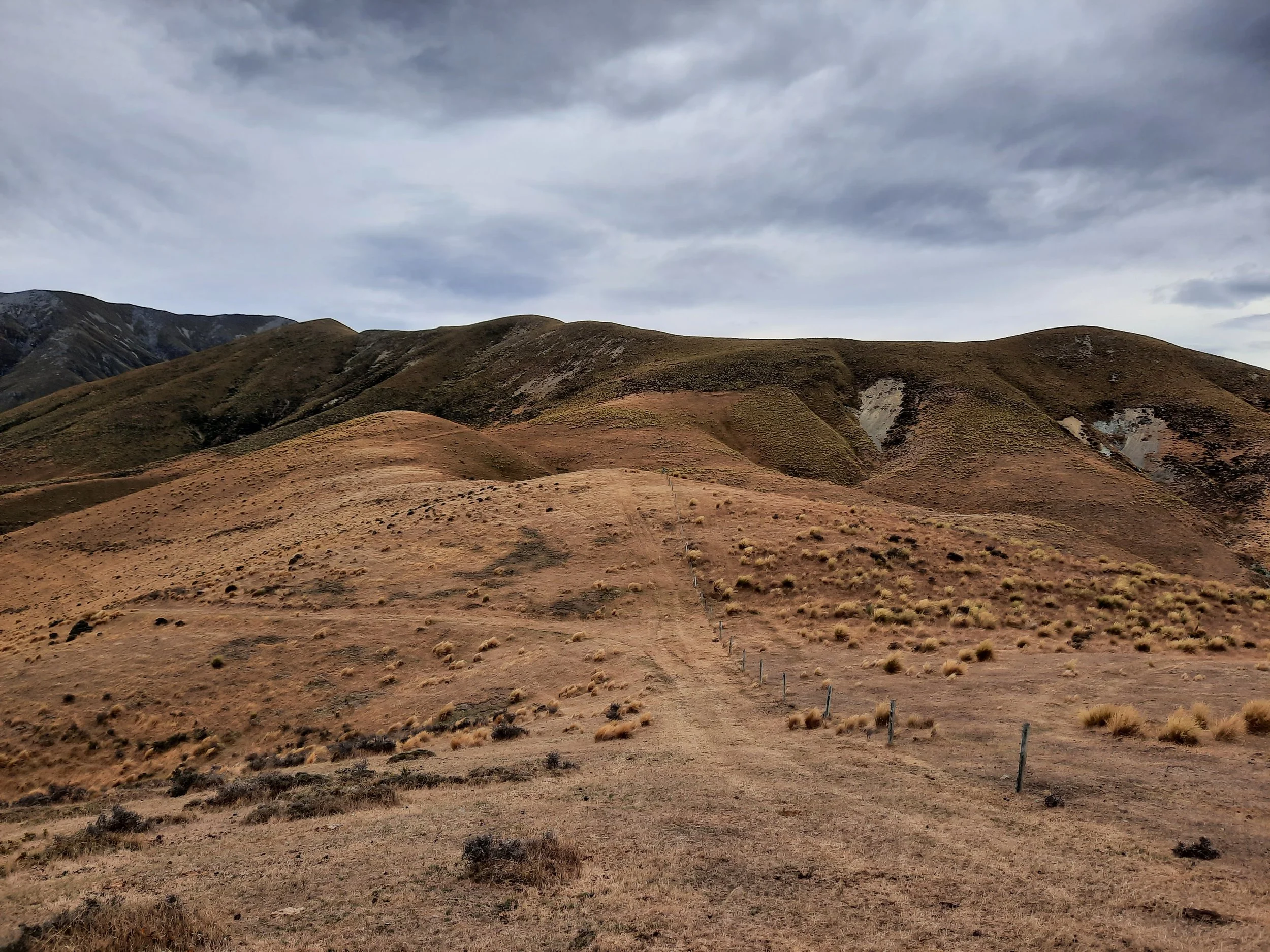
After parking at this unofficial trailhead at the end of a road in the forest, I then went through a gate and crossed empty pasture to reach the foot of Tourist Spur. As I ascended the spur on an overgrown 4WD track, I climbed over four metal gates, wired shut but not locked. The first gate is roughly where the first paper road (discussed above) joins the 4WD road, by the A in A3GE on the topomap. I’ve added a cyan dot to the topomap screenshot.
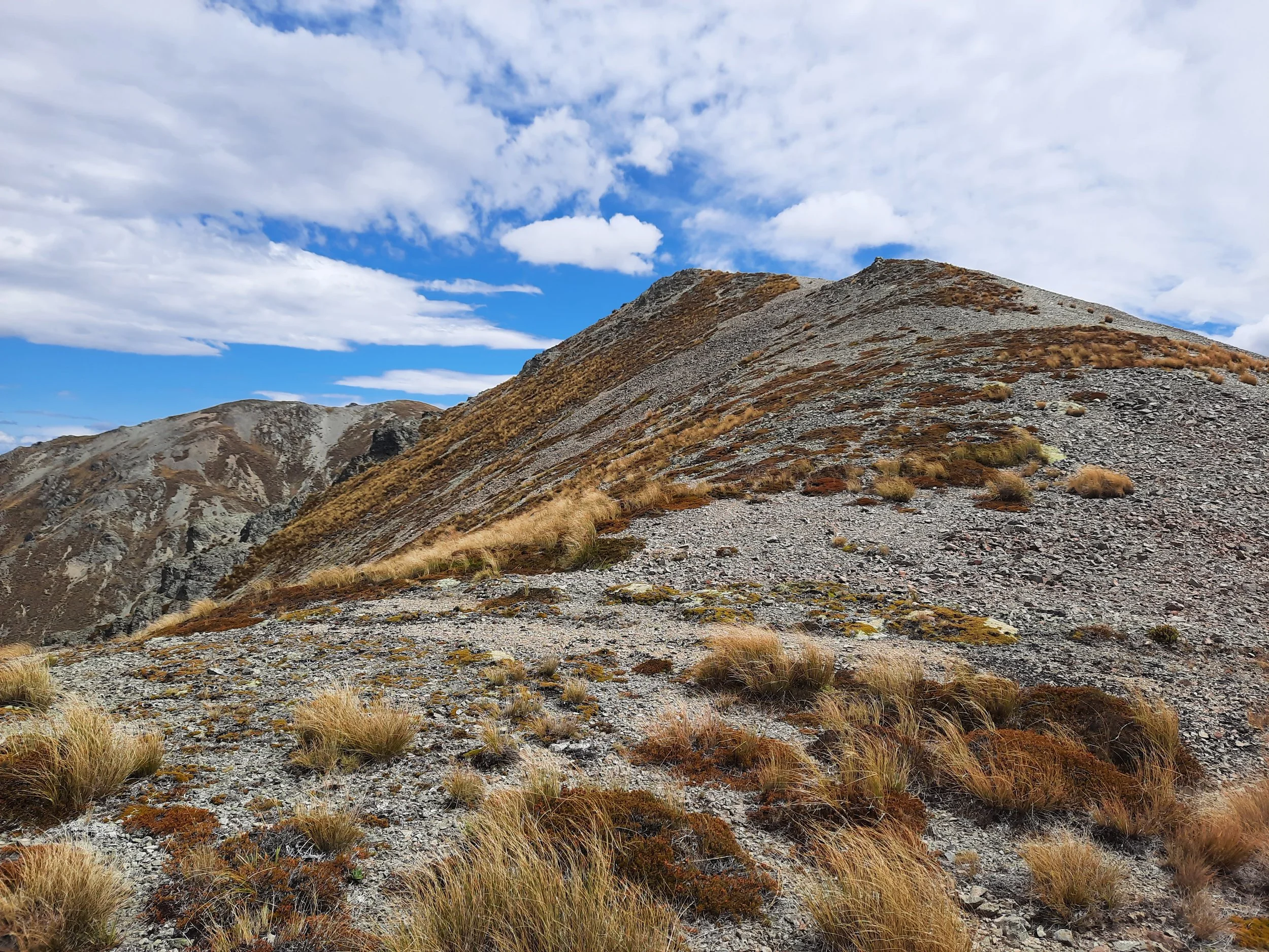
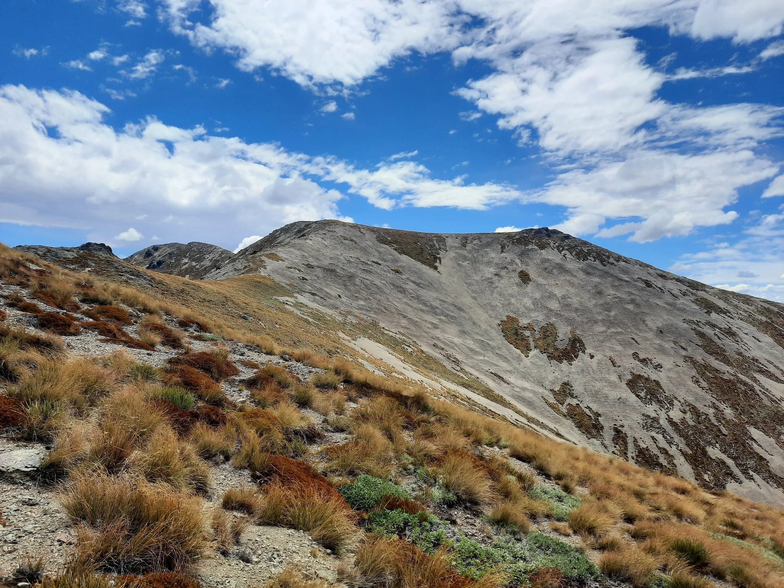
Tourist Spur became steeper as it rose. Tussock and dirt gave way to loose rocks. At the top of the spur was a cairn.
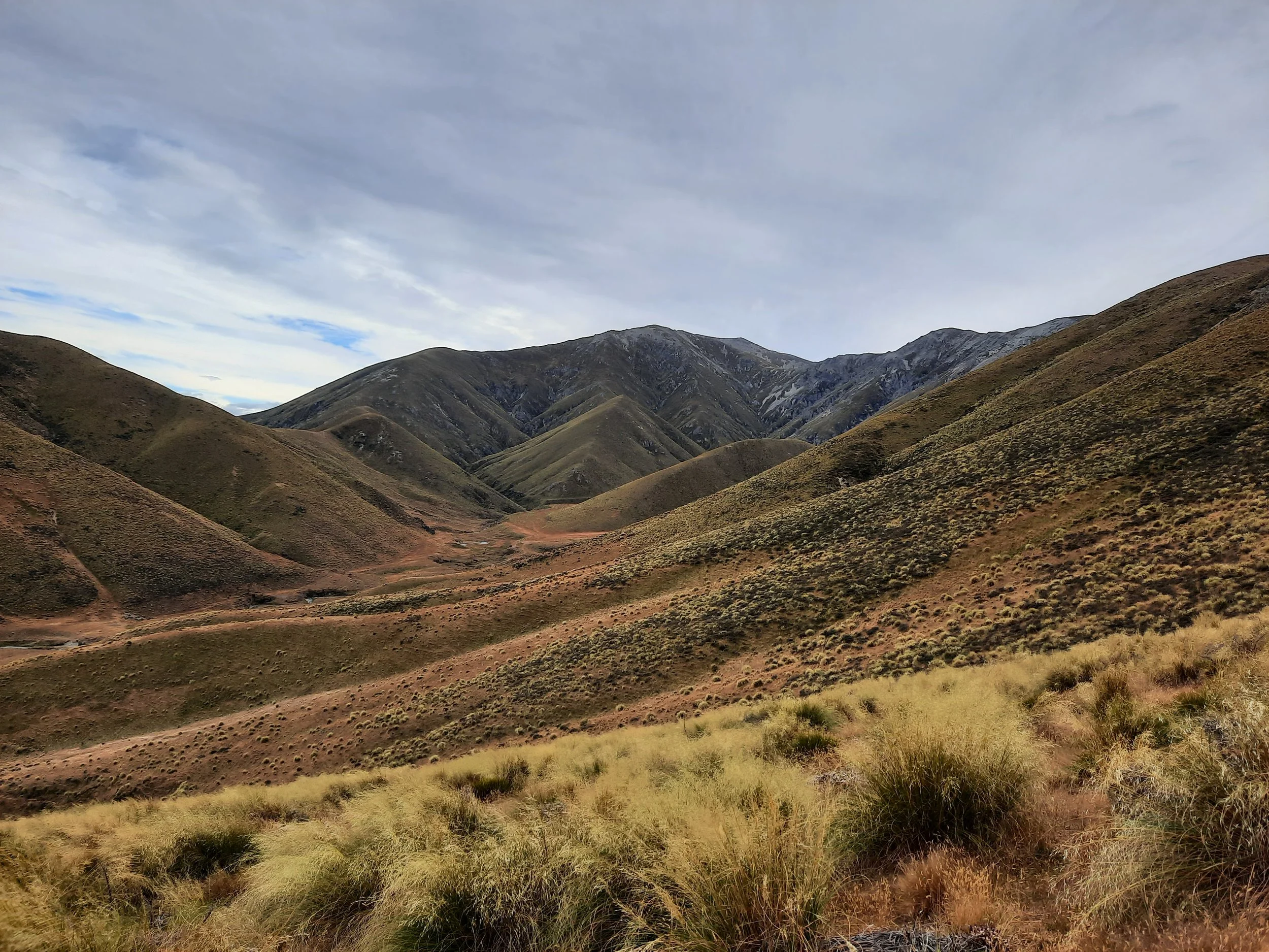
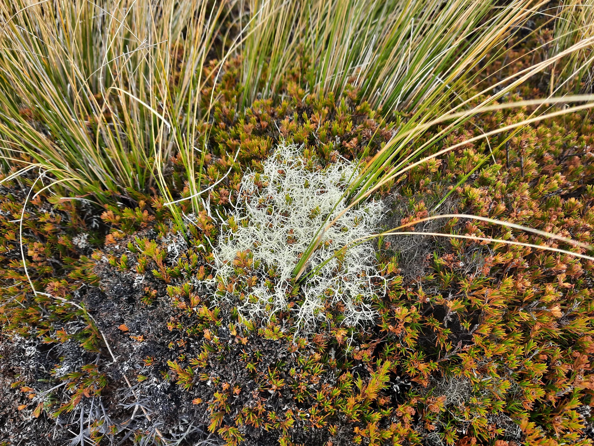
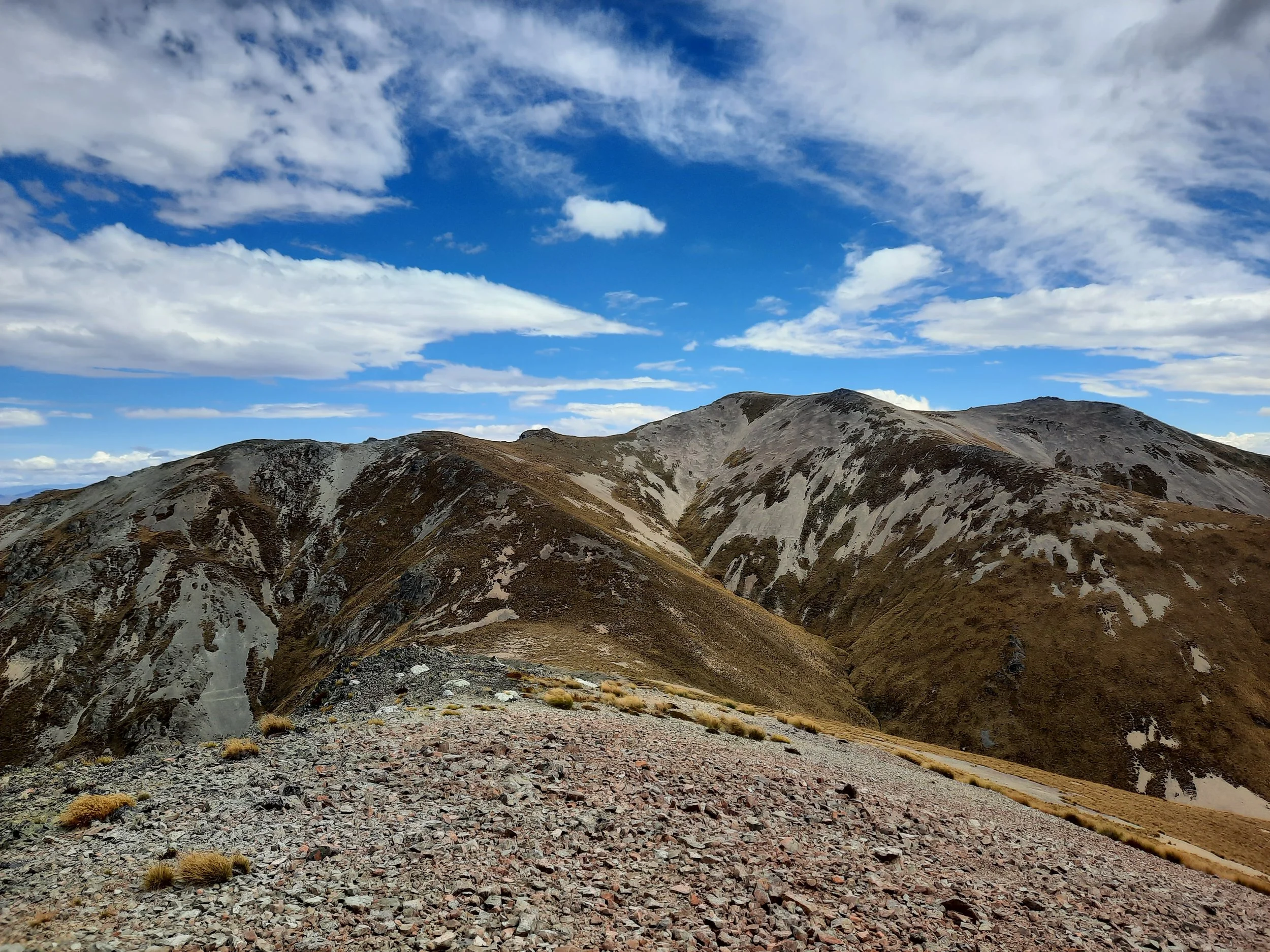
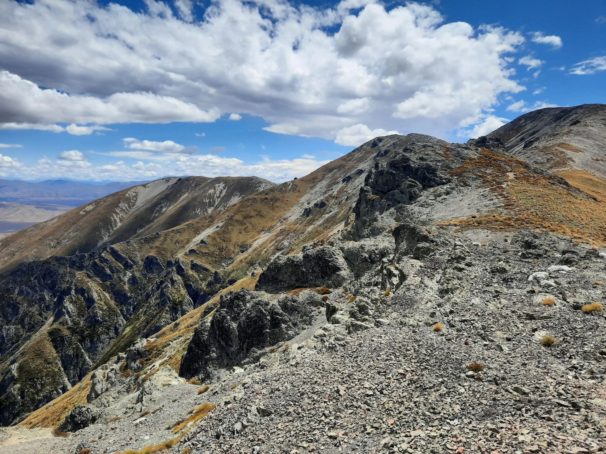
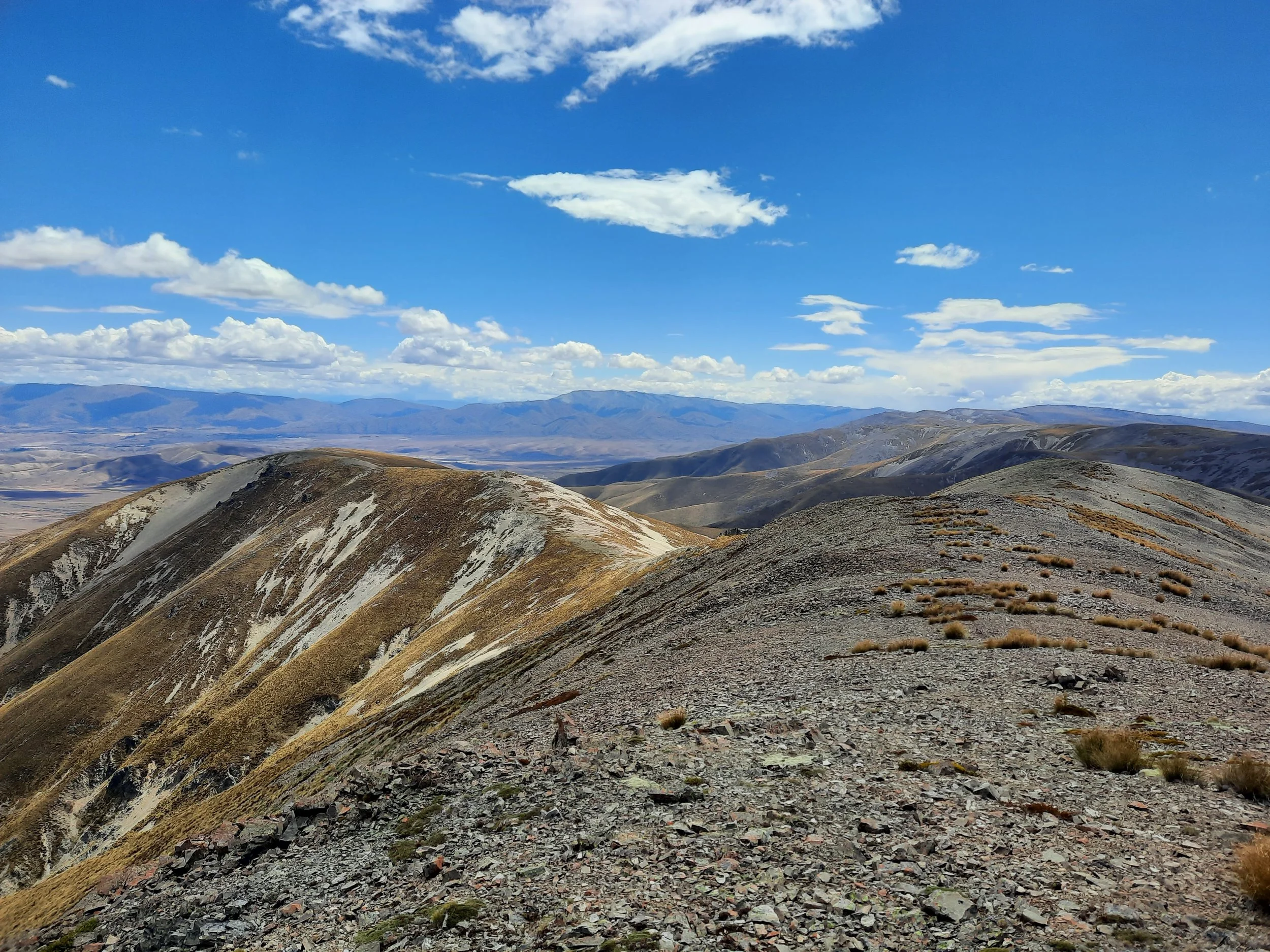
At the cairn, I turned left (west) and walked northwest along the ridge, over Point 1516. The hardest part of the ascent was the slope below 1582, an irregular mix of rock, tussock, and other short plants. As it flattened out, I skirted right of Point 1582.
From there, I continued to the false summit and then the true summit, less than 10 minutes beyond it.
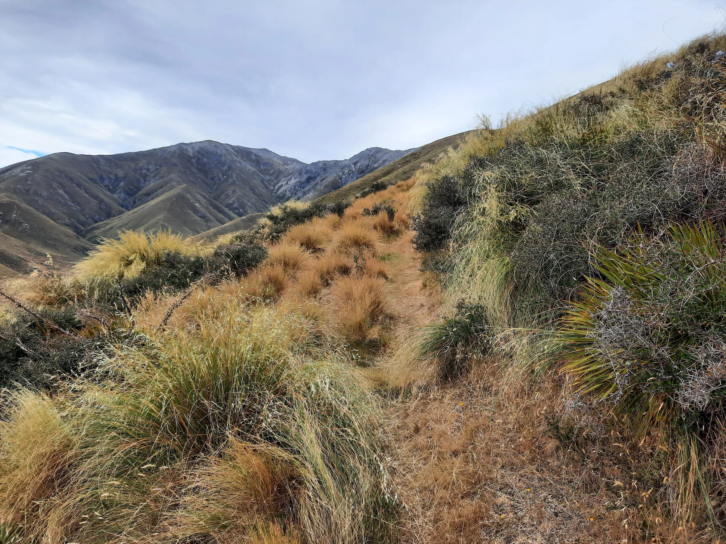
The walk was steep in places, but not technically challenging, and there was no meaningful exposure. The narrower ridges often had an impact track, but I lost it on broader slopes, like the one below Point 1582.
There was a glass bottle wedged into the summit cairn, and earlier on the ridge I had passed a glass jar also wedged in among rocks. (Or perhaps vice versa.) They had clearly been there for a while, perhaps longer than I’ve been alive.
From the summit, I saw Point 1658 in the adjacent Hawkdun Range, which I hiked to through snow one June. It was about 5km away as the crow flies, but several km longer along the ridge.
As I returned along the ridge, I sidled on the fairly steep slope of tussock and loose rock to the north of Point 1516, rather than re-ascend it. I think this cost me more effort than it saved, so I recommend against; it isn’t pictured on the topomap screenshot.
If 1 is an easy track, and 4 is using hands and feet on exposed rocks, this route is a 3 at worst, on some steep loose rock slopes.
Panorama from summit.
Hunting
Starting where Tourist Spur meets the Ida Range ridge, the entire route is in a hunting area. Hunters are forbidden to “discharge firearms near tracks, huts, campsites, road-ends or any other public place.” I have hiked in more than 30 hunting areas, and only passed hunters twice - this wasn’t one of those hikes.
Here is the DOC topomap with all hunting areas visible.
Pages about other routes to Mt Ida
Pages about nearby hikes
https://www.alltrails.com/trail/new-zealand/otago/mount-ida-water-race-track (water races were built to assist gold miners)
Point 1658 in the Hawkdun Range, via unnamed spur, near Walking Spur
https://hikingscenery.com/hawkdun-range-summit-1857m-maniototo/
https://www.stuff.co.nz/travel/destinations/nz/central-otago-lakes/81613220/over-the-top-in-oteake
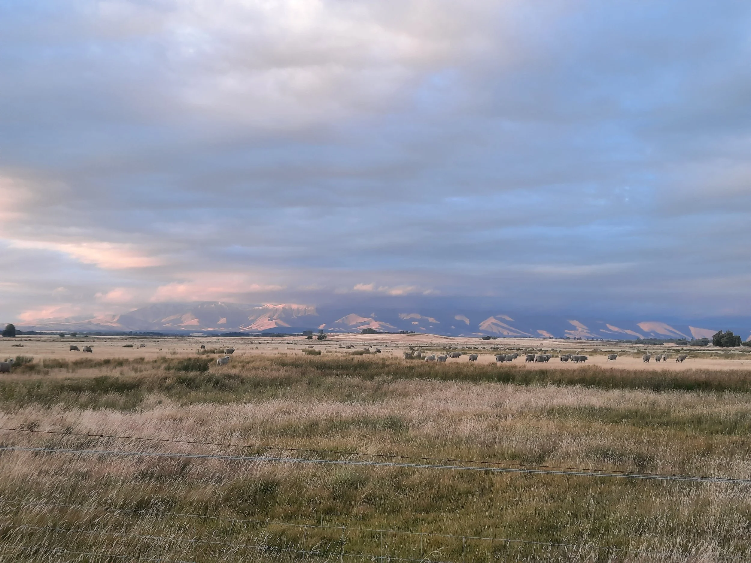
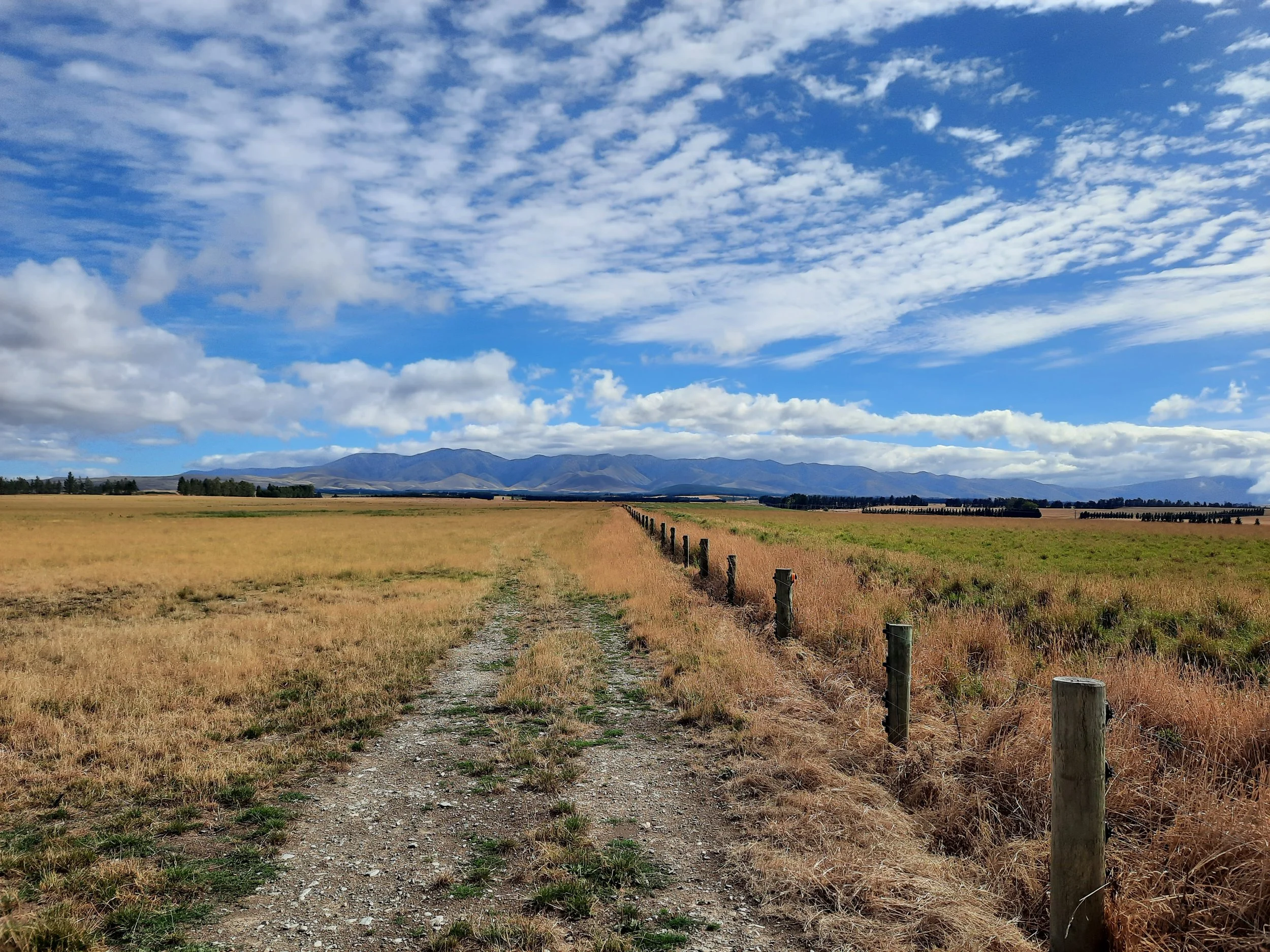
Ida Range seen from elsewhere
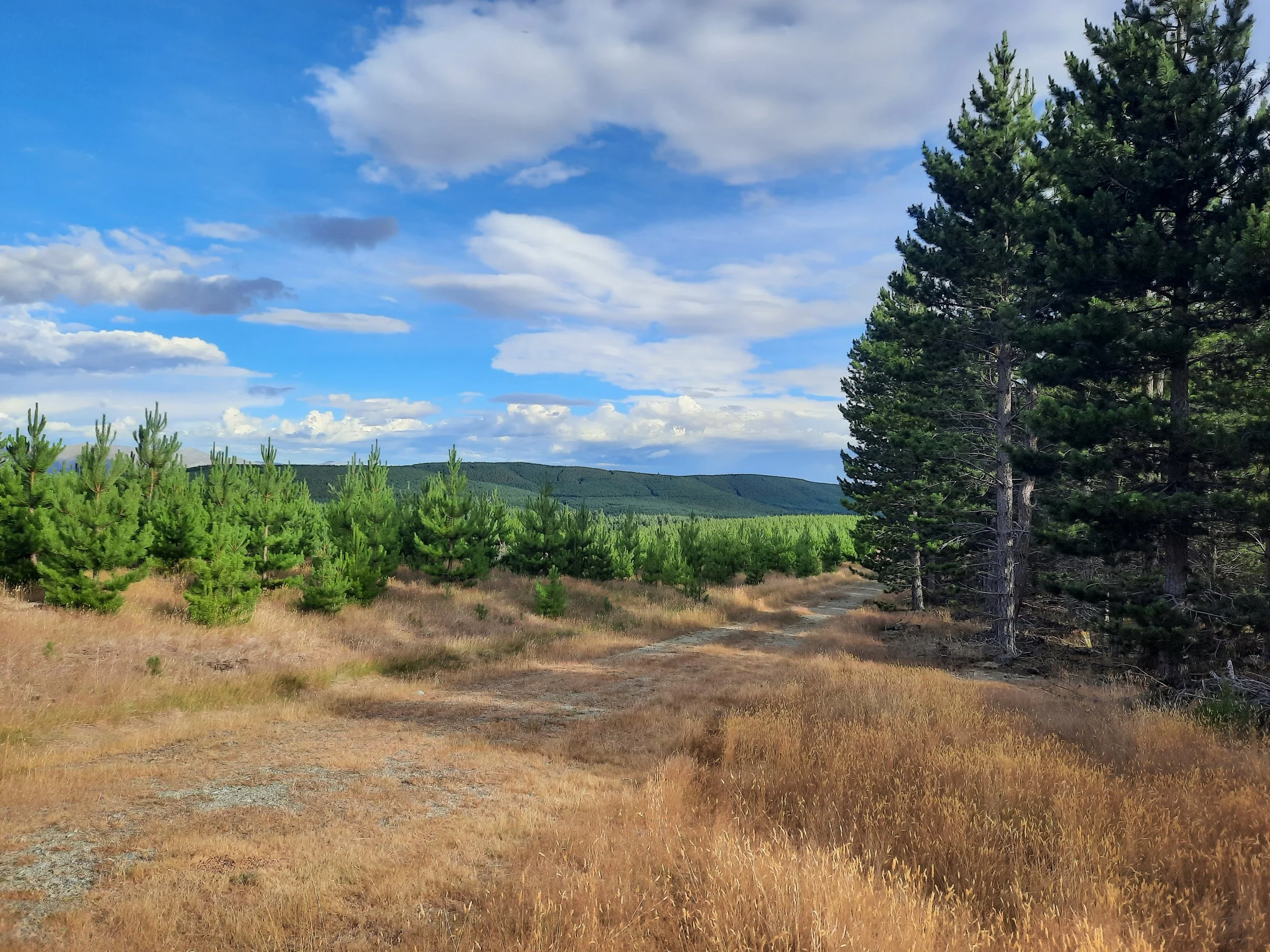
From near Naseby. Naseby Forest in mid-ground.


